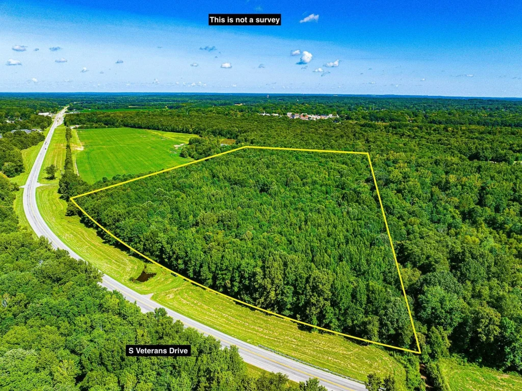
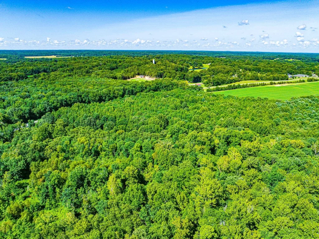
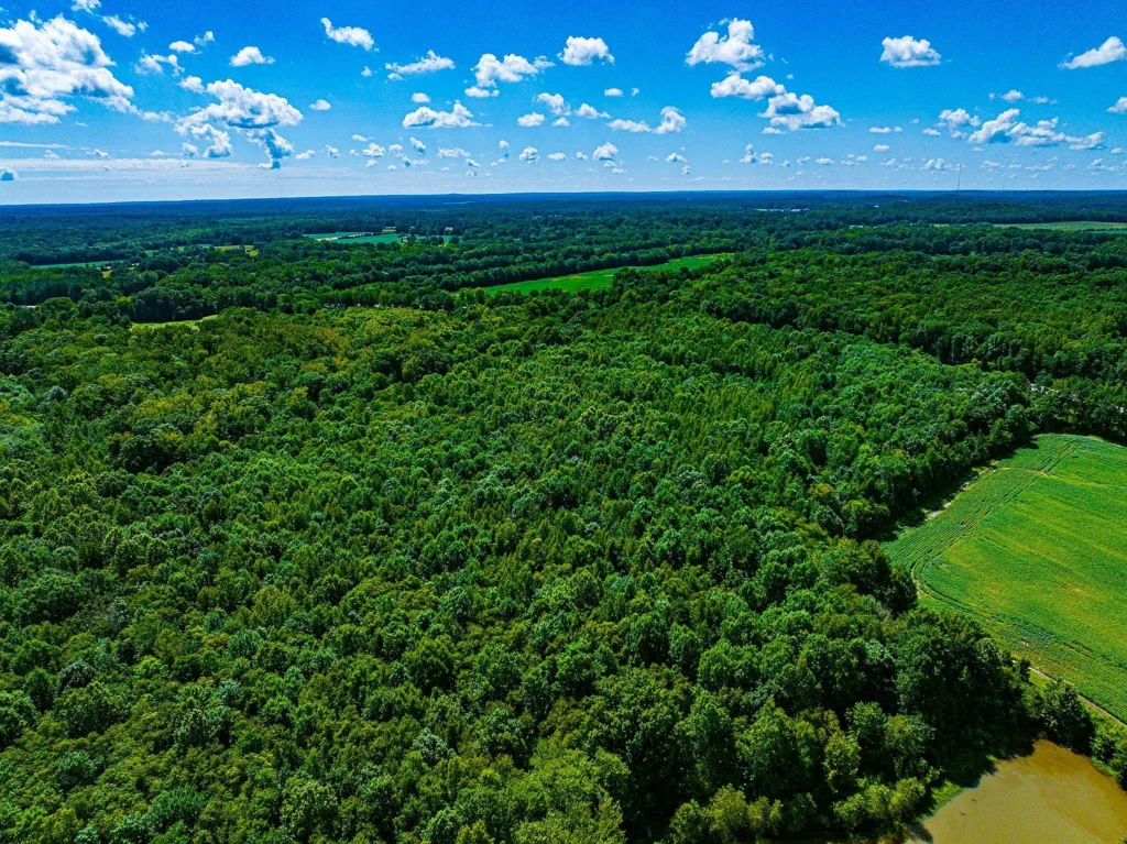
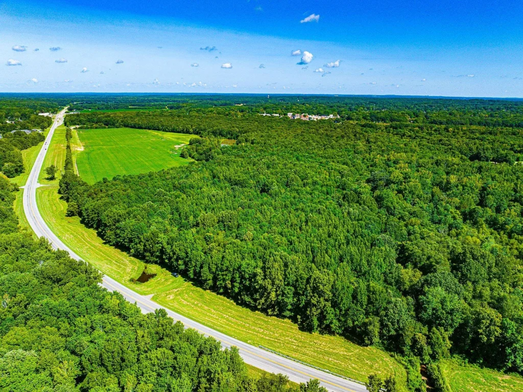
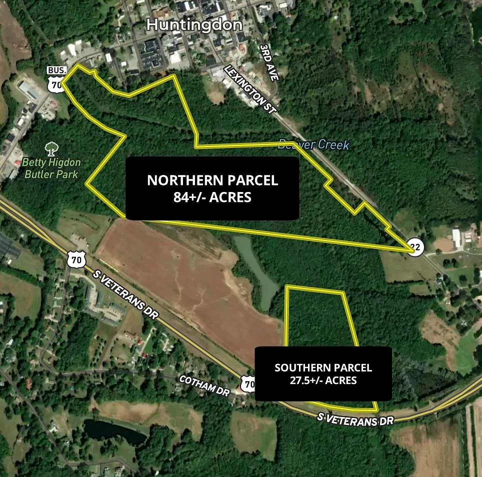
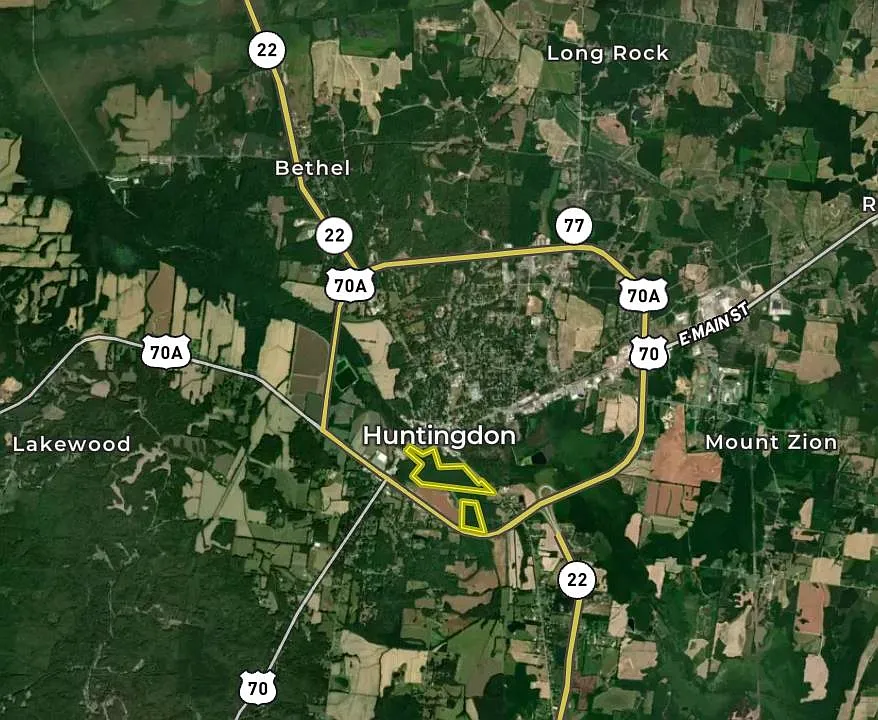
Priced at $74,250—which breaks down to $2,700.00 per acre—this 27.5-acre agricultural tract at 0 Veterans Dr S in Huntingdon, Tennessee (ZIP 38344, Carroll County) combines direct paved access, city utility availability, and proven wildlife habitat. Listed on August 21, 2026, the parcel is located inside the Huntingdon city limits while maintaining an agricultural (Ag) zoning classification.
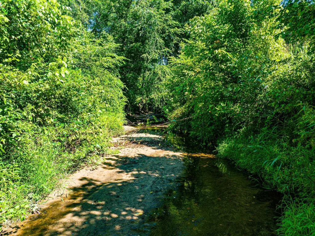
The property features year-round water flow from Brier Creek, mixed hardwood timber canopy, neighboring agricultural food sources, and electricity already connected at the road. At $2,700 per acre, this parcel serves as an accessible entry point for recreational buyers, hunters, homesteaders, or land-banking investors in West Tennessee.
Property Overview & Technical Specifications
Evaluating public registry data, Carroll County GIS parcel records (Parcel ID: 084029.00), and official listing disclosures establishes the baseline parameters for this Huntingdon tract.
| Property Parameter | Listing Disclosures & County Public Data Baseline |
| Street Address | 0 Veterans Dr S, Huntingdon, TN 38344 |
| County / Region | Carroll County / West Tennessee |
| Parcel Identification Number | 084029.00 |
| Current List Price | $74,250 (Listed August 21, 2026) |
| Total Deeded Footprint | 27.50 Acres (1,197,900 Square Feet) |
| Price Per Acre | $2,700.00 per acre |
| Price Per Square Foot | $0.062 per sq. ft. |
| Zoning Classification | Ag (Agriculture – Huntingdon City Limits) |
| Topography Profile | Level to Low-Lying Creek Bottom, Wooded Canopy |
| Hydrology & Water Features | Brier Creek (Year-Round Flow) |
| Road Frontage & Access | Paved Highway Frontage along S Veterans Drive |
| Utilities Available | Electricity Connected; Public Water Main at Road |
| Wastewater Sanitation | Unimproved (Requires Soil Perc Test / Private Septic) |
| Annual Property Taxes | $385.00 per year ($32.08 per month) |
| HOA / Association Fees | None ($0.00 / month) |
Financial Valuation & Unbundled Asset Allocation
Unbundling the $74,250 asking price across the parcel’s raw land, water features, utility access, and wildlife value illustrates its underlying financial structure.
| Asset Component | Estimated Value Allocation | Calculation & Market Basis |
| Base Wooded Land (27.5 AC) | $49,500 | Assigned at $1,800/acre baseline for raw unimproved timberland |
| Paved Frontage & Electric Drop | $11,500 | Value of direct Veterans Dr frontage & connected electric service |
| Brier Creek Water Feature | $8,250 | Premium for year-round stream flow and drainage corridor |
| Wildlife Habitat & Mast Canopy | $5,000 | Value of established game trails, hardwoods, & feeder sites |
| TOTAL ESTIMATED ASSET VALUE | $74,250 | Matches asking purchase price ($2,700.00 / acre) |
Tax Carrying Costs
Holding costs for 0 Veterans Dr S are minimal due to low agricultural tax assessments in Carroll County:
- Annual Property Taxes: $385.00 per year
- Monthly Tax Overhead: $32.08 per month
- HOA / Landowner Dues: $0.00 / month
- Total Holding Cost Basis: Under $33.00 per month, making long-term land-banking highly cost-effective.
Hydrology, Topography, & Wildlife Profile
- Brier Creek Corridor: Brier Creek flows directly through the parcel, providing continuous water for local wildlife and establishing a natural drainage basin.
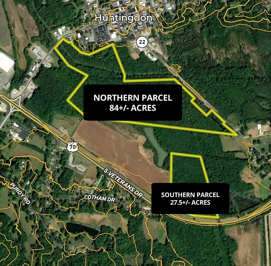
- Elevation & Floodplain Considerations: Topography ranges from level buildable ground near the road frontage to lower creek bottomland. Potential builders should review FEMA flood maps to locate building pads above the stream’s high-water mark.
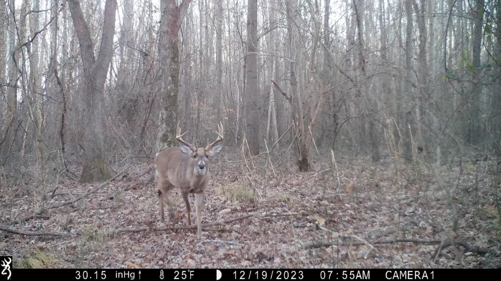
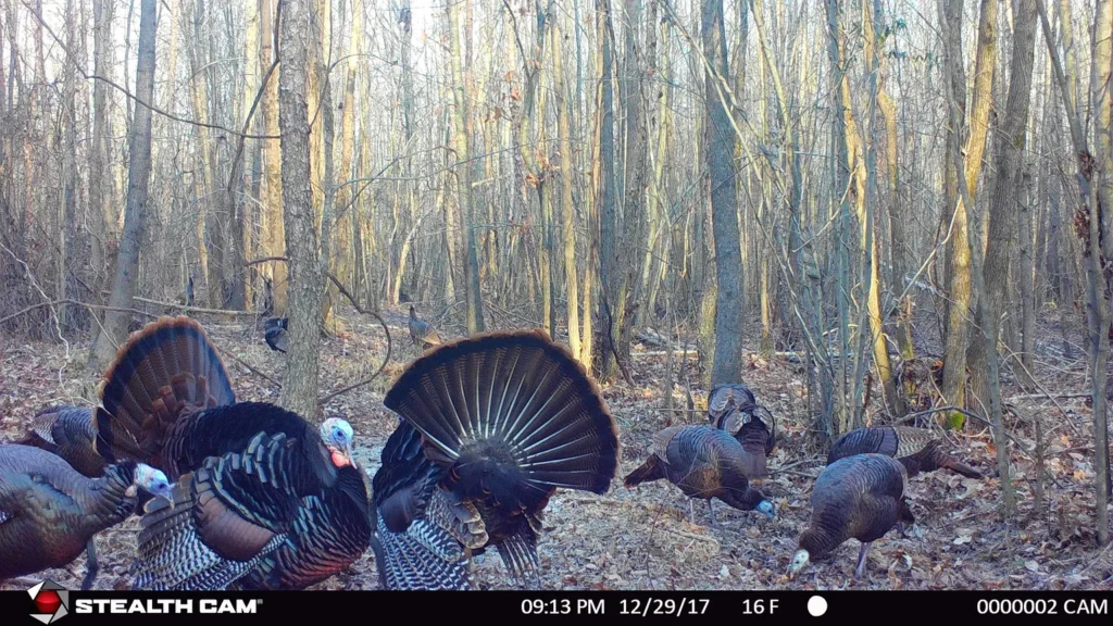
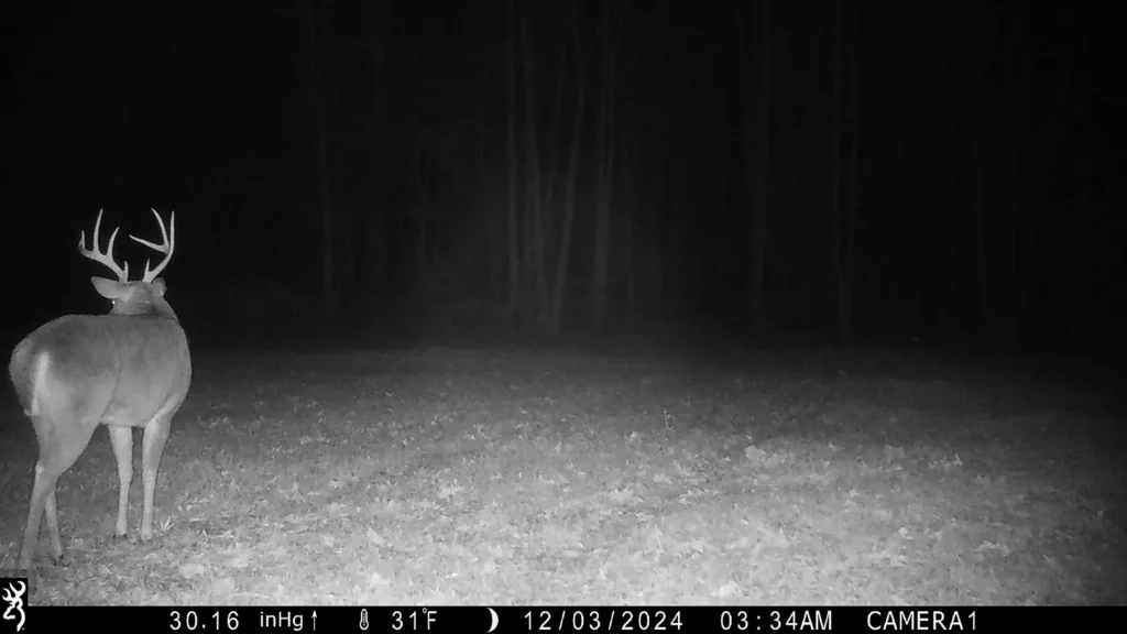
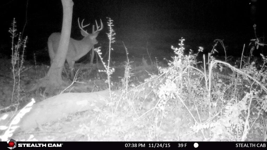
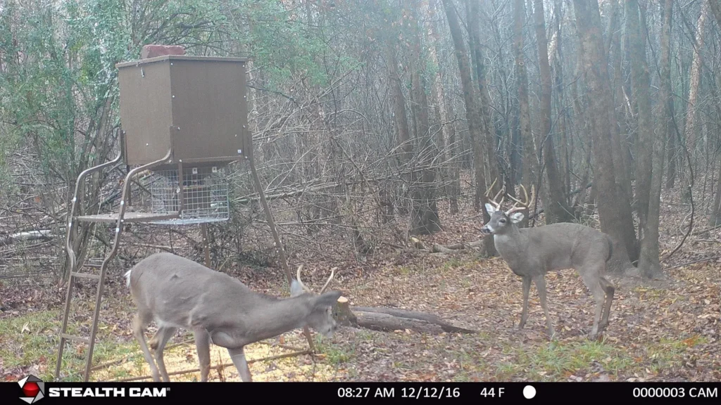
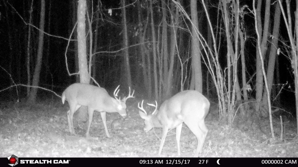
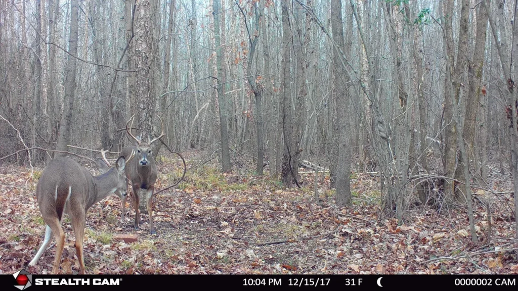
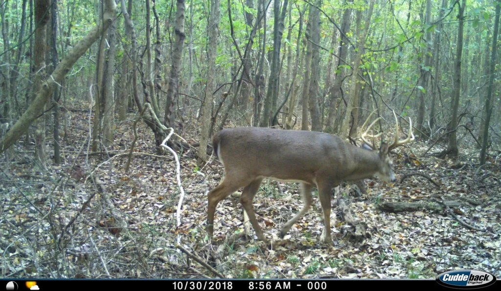
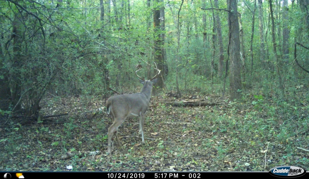
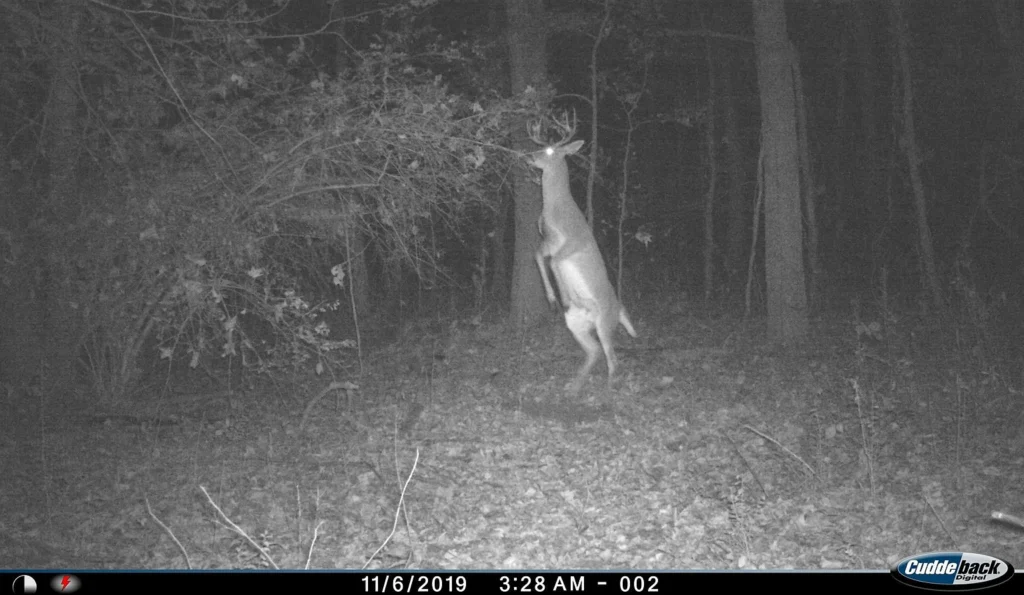
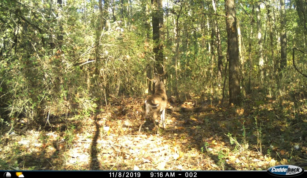
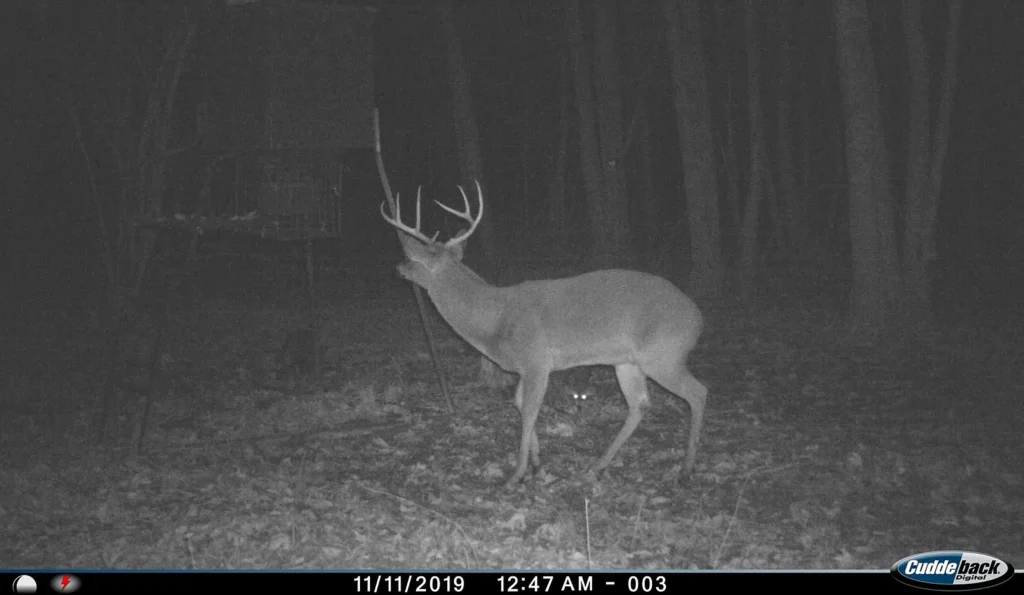
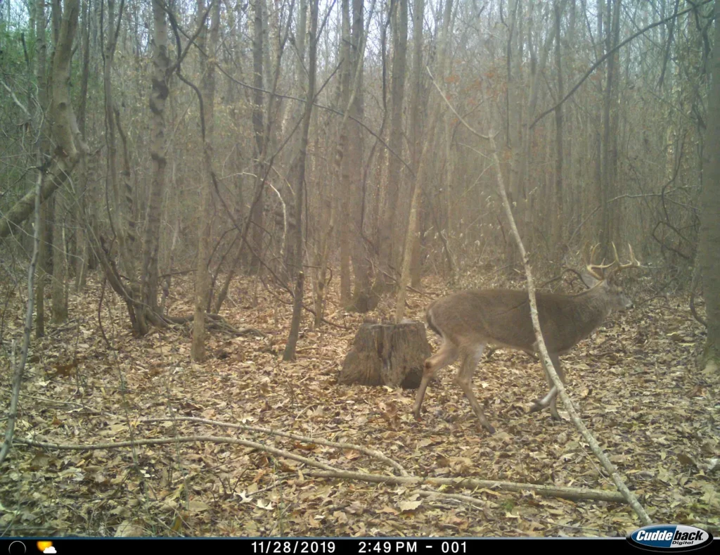
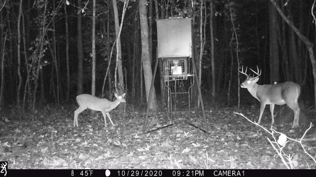
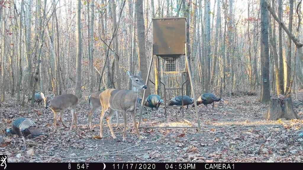
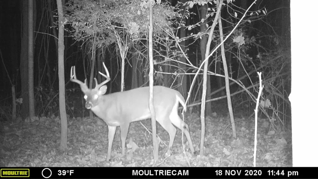
- Documented Wildlife Activity: Extensive trail camera history confirms strong populations of whitetail deer and wild turkey. The tract benefits from adjacent row-crop agricultural fields that supply year-round food, while the parcel’s mixed hardwood timber provides bedding cover.
Projected Site Development & Infrastructure Budget
Developing 0 Veterans Dr S for a private residence, hunting cabin, or recreational campsite requires planned capital expenditures:
| Development Component | Low-End Estimate (DIY / Local) | High-End Estimate (Contractor) | Technical Scope & System Details |
| Boundary Survey & Corner Pins | $1,800 | $3,500 | Verify exact acreage boundaries & city limits line |
| Driveway Culvert & Entrance | $2,500 | $5,500 | Install culvert pipe off paved S Veterans Dr |
| Public Water Hookup | $1,200 | $2,800 | Connect service line to Huntingdon public water main |
| Electric Panel & RV Drop | $1,500 | $3,500 | Set temporary or permanent meter base on existing power |
| Engineered Septic System | $6,500 | $11,500 | Perform soil perc test & install tank with lateral field |
| Internal UTV Trail Clearing | $1,200 | $3,000 | Clear access paths along Brier Creek and timber stands |
| TOTAL PROJECTED CAPEX | $14,700 | $29,800 | Estimated budget for complete site utility setup |
Regional Comparative Market Analysis (CMA)
Comparing 0 Veterans Dr S against active and recent land listings in Carroll County demonstrates its position in the local market:
| Property Location & Details | Acreage | List Price | Price / Acre | Key Features & Infrastructure |
| 0 Veterans Dr S, Huntingdon (Subject) | 27.50 AC | $74,250 | $2,700.00 | City limits; Brier Creek; Electric connected; Paved road |
| 0 Cavia Rd, Westport, TN | 177.00 AC | $575,250 | $3,250.00 | Bordering Natchez Trace State Forest; Hunting tract |
| 0 Futrell Odell Bunn, McKenzie, TN | 50.00 AC | $175,000 | $3,500.00 | Tar/chip frontage; Power at road; Timbered hunting land |
| 9500 Highway 104 W, Cedar Grove, TN | 72.47 AC | $350,000 | $4,829.58 | Highway frontage; Mixed pasture and woodland |
| 2280 Pond Branch Rd, Buena Vista, TN | 82.00 AC | $280,000 | $3,414.63 | Rural timberland; Unimproved access; Stream |
Market Takeaways
- Competitive Value Basis: At $2,700 per acre, the subject property is priced below the typical $3,200–$3,800 per acre range for small-to-midsize acreage in Carroll County.
- Municipal Convenience: Located inside Huntingdon city limits, the tract offers proximity to schools, dining, and retail while retaining agricultural zoning and low carrying costs.
Strategic Advantages vs. Critical Risk Factors
Strategic Advantages (Pros)
- Attractive Sub-$3,000/Acre Price: Listed at $2,700/acre, offering strong value for serviced acreage.
- Utilities On Site / Available: Electricity is already connected and public water runs along the road frontage.
- Paved Frontage: Direct access off S Veterans Dr eliminates the need for private access easements.
- Live Water Feature: Brier Creek provides year-round water for wildlife and land aesthetics.
- Documented Game Habitat: Proven history of deer and turkey populations backed by trail camera records.
- Minimal Tax Holding Cost: Annual taxes are $385/year ($32/month) with zero HOA fees.
Critical Risk Factors (Cons)
- Floodplain Restrictions: Brier Creek creates low-lying areas that require elevation verification before building permanent structures.
- Municipal Hunting Regulations: Because the tract sits within Huntingdon city limits, buyers must verify municipal firearm discharge ordinances or bow-hunting allowances.
- Septic Permitting Required: On-site wastewater disposal requires a professional soil percolation test and county health department approval.
Target Buyer Compatibility Matrix
| Buyer Category | Profile Goals & Objectives | Strategic Fit |
| Recreational Hunters & Outdoorsmen | Buyers seeking a accessible bow/rifle hunting tract with live water and deer history. | Ideal Fit |
| Homesteaders & Cabin Builders | Buyers looking for affordable acreage with power connected and public water at the road. | Ideal Fit |
| Land Speculators & Investors | Investors seeking low-carrying-cost land ($32/mo) inside city limits for long-term hold. | Ideal Fit |
| Turnkey Residential Homebuyers | Buyers requiring move-in-ready housing with municipal sewer and flat, non-flooding yards. | Unfavorable Fit |
Essential Buyer Due Diligence Roadmap
- Verify Municipal Hunting Ordinances: Contact the Huntingdon City Hall / Police Department to review rules regarding bow hunting or firearm use within city limits.
- Review FEMA Flood Maps: Check elevation profiles along Brier Creek to identify high-ground building envelopes outside 100-year flood zones.
- Conduct Soil Percolation Test: Schedule a soil evaluation with a certified evaluator to approve septic placement.
- Confirm Utility Tap Fees: Verify water meter connection costs with the Huntingdon Public Utility Department.
- Commission Boundary Survey: Retain a licensed Tennessee surveyor to mark property corners and confirm road frontage along S Veterans Drive.







Listed on Zillow