Securing a continuous 65-acre tract of land for under $100,000 is an increasingly difficult feat in today’s real estate market.Located off Hales Fork Road near the rural community of Dewitt in Knox County, Kentucky, 8888 Hales Fork Rd offers 65 acres of unimproved mountain land listed at $71,500.
Held by a single family for three generations and left completely untouched since its last timber harvest in the spring of 1992, this property presents a rare baseline valuation of approximately $1,100 per acre.It offers an intriguing mix of 34-year hardwood timber regrowth, complete freedom from zoning restrictions, private recreational terrain, and convenient proximity to regional travel corridors like Interstate 75.
However, buying raw rural acreage at this price point requires a clear-eyed evaluation of physical and legal realities. The parcel is currently unsurveyed, access beyond the main county gravel road transitions into an old dirt trail requiring four-wheel-drive or ATV/UTV transportation, and the land consists primarily of steep hillside topography surrounding a small flat landing area near an old cemetery.
This article provides an objective, deep-dive evaluation of 8888 Hales Fork Rd. It breaks down the financial metrics, land characteristics, timber assets, access logistics, utility extension costs, buyer profiles, and essential due diligence steps required for prospective buyers.
Property Specifications and Core Data Overview
Establishing the official public disclosures and listing parameters provides clear context before evaluating the property’s physical and financial potential.
- Property Address: 8888 Hales Fork Rd, Dewitt, Kentucky 40930
- County: Knox County
- Listing Price: $71,500
- Land Footprint: 65.0 +/- Acres (approximately 2,831,400 square feet)
- Price Per Acre: Approximately $1,100 per acre
- Parcel Identification Number: 150-00-00-009.00
- Legal Status: Unsurveyed acreage; deed calls for 65 +/- acres
- Property Condition: Vacant, unimproved raw land; no structures, no fencing
- Access Type: Maintained county gravel road transitioning into an old dirt road (requires 4WD, ATV, or UTV for interior access)
- Topography: Pockets of flat ground near the dirt road landing and cemetery; majority is timbered hillside
- Timber History: Last logged in the spring of 1992 (34 years of standing natural regrowth)
- Ownership History: Family-owned for 3 generations; held by current out-of-state owners since 1992
- Utilities: Electrical lines run up Hales Fork Road; no active power drops, well, or septic on site
- Zoning and Restrictions: No zoning restrictions (Unrestricted rural land)
- Location Context: 5.5 miles to Dewitt Elementary School, 13 miles to regional shopping and dining, roughly 30 minutes to Interstate 75 (Exit 29 at Corbin, KY)
The Numbers Behind the $71,500 Asking Price ($1,100 per Acre)
Evaluating raw land requires separating raw acreage value from site improvement costs. In standard residential real estate, price per square foot dictates value. On large rural land tracts, the primary valuation metric is the cost per acre combined with accessibility and usability.
At an asking price of $71,500 for 65 acres, the mathematical baseline breaks down as follows:
- $71,500 ÷ 65 acres = $1,100 per acre
In the Southeastern Kentucky market—specifically across the Cumberland Plateau and lower Appalachian foothills—raw, undeveloped mountain land typically trades between $1,500 and $3,500 per acre depending on timber volume, road frontage, and utility availability. A price point of $1,100 per acre sits well below regional averages.
The low per-acre price reflects three specific property conditions:
- The property is unsurveyed, transferring the legal responsibility and cost of establishing marked boundaries to the buyer.
- Direct vehicular access terminates at the gravel road, requiring off-road vehicles (ATVs/UTVs) or site grading to reach the interior acreage.
- The land is predominantly hillside terrain, limiting immediate large-scale agricultural or dense residential development without earthmoving.
However, for a buyer looking to acquire a large physical asset, build equity through sweat equity, or hold standing timber, paying $1,100 per acre provides a low financial entry threshold.
Navigating Unsurveyed Land: Understanding “Deed Calls for 65 +/- Acres”
A critical element in the listing description is that 8888 Hales Fork Rd is offered as an unsurveyed parcel, with the current deed calling for 65 +/- acres. Understanding what this means legally and practically is essential before submitting an offer.
What Is a “Deed Call” Parcel?
In rural Kentucky, older property descriptions frequently rely on “metes and bounds” deeds written decades or generations ago. These descriptions reference historical natural landmarks—such as oak trees, stone piles, ridge lines, or creek beds—rather than modern GPS pin points established by a licensed surveyor.
Because the land has been held by the same family for three generations, the 65-acre figure is derived from historical county tax maps and deed records rather than a recent boundary survey.
What Does This Mean for a Buyer?
- Acreage Variance: The actual surveyed area could measure slightly higher or lower than 65 acres once a professional survey is completed.
- Boundary Line Clarity: Without marked survey pins or blazed trees, identifying exact property corners along mountain ridges requires research and field mapping.
- Budgeting for a Survey: A buyer who wants clear boundary lines, fenced perimeters, or formal title insurance coverage should budget for a boundary survey.
Estimating Survey Costs in Knox County
Surveying a 65-acre mountain parcel with heavy forest cover and steep terrain typically costs between $3,500 and $7,500, depending on density, seasonal foliage, and historical deed clarity. Factoring this expense directly into the initial purchase offer ensures the buyer avoids unexpected financial surprises after closing.
Evaluating the 34-Year Timber Regrowth (1992 to 2026)
Standing timber represents one of the most tangible asset components of rural land ownership. The listing explicitly states that the property was last logged in the spring of 1992 and has remained untouched by the owners ever since.
Understanding the 34-Year Growth Cycle
In the Appalachian hardwood region, a 34-year forest growth window (1992 to 2026) allows a forest to transition through critical regeneration stages:
- Canopy Re-establishment: After a timber harvest, light-seeded pioneer species establish early canopy, followed by hardwoods filling in the mid-story and main canopy.
- Sawtimber Development: Over a 30- to 35-year period, fast-growing Appalachian species—such as Yellow Poplar (Tulip Tree), Red Oak, White Oak, Hickory, and Maple—reach sawtimber or mature pole-timber sizes (typically 12 to 18+ inches in diameter at breast height).
- Value Accumulation: While 34 years may not yield 100% old-growth timber, it frequently produces a dense stand of commercial sawlogs, tie-logs, and pulpwood capable of generating revenue through a selective, managed harvest.
Evaluating Potential Timber Value
Timber value varies based on species mix, tree diameter, log grade, terrain accessibility, and distance to local lumber mills. In Eastern Kentucky:
- High-Value Hardwoods: White Oak (highly valued for stave timber and lumber) and Red Oak represent significant per-MBF (thousand board feet) value.
- Mid-Value Hardwoods: Yellow Poplar and Hickory offer solid commercial utility for framing lumber, pallets, and furniture stock.
A buyer interested in recovering a portion of the $71,500 purchase price can hire a consulting forester to perform a professional timber cruise.If a selective harvest yields $300 to $600 per acre in net timber revenue across select accessible sections, the timber harvest could recover $15,000 to $30,000+ of the initial land investment while simultaneously opening up interior ATV trails and wildlife clearings.
Terrain, Topography, and Elevation Profile Analysis
Understanding the physical shape of 8888 Hales Fork Rd is crucial for determining how the land can be utilized. The listing highlights a distinct topographical contrast: a flat area near an old cemetery along the access road, paired with a majority of hillside terrain.
The Flat Landing Area Near the Old Cemetery
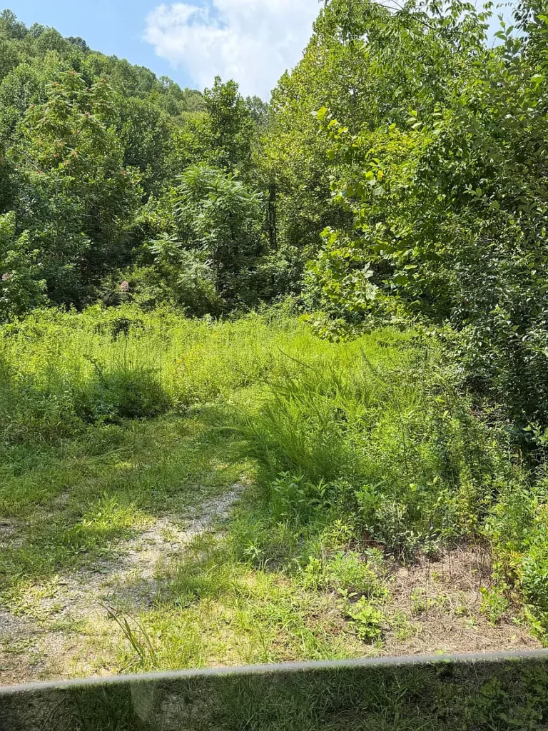
The property includes a section of level ground situated near an old cemetery where the gravel road transforms into a dirt trail.
- Immediate Utility: This flat section provides an easy access point where vehicles can park without extensive grading.
- Potential Base Camp Site: For recreational buyers, this flat area offers a logical location for parking trucks, setting up an off-grid camper or RV, constructing a storage shed, or building an initial cabin pad.
- Historic Context: Old family cemeteries are common across rural Kentucky holdings. They reflect the deep regional history of the parcel, though buyers should verify access paths around cemetery boundaries to respect historic burial plots.
The Hillside Terrain
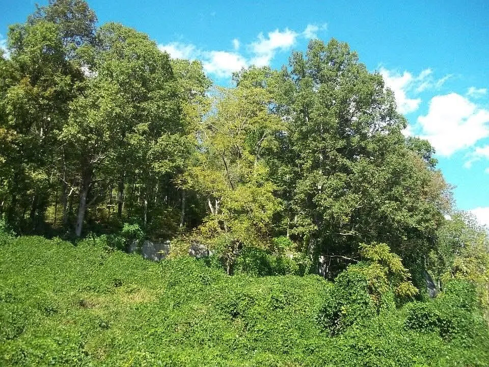
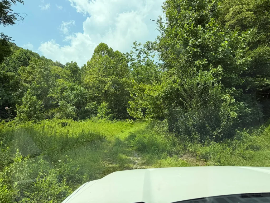
The majority of the 65 acres consists of timbered mountain slopes.
- Privacy and Buffer: Steep hillside acreage creates a natural sound and visual barrier, insulating the interior of the property from neighboring parcels and roads.
- Wildlife Corridors: Mountain draws, hardwood ridges, and timbered hollows form natural travel corridors for white-tailed deer, wild turkey, and eastern black bear, making hillside ground highly effective for hunting.
- Natural Bench Formations: Appalachian hillsides frequently feature natural horizontal “benches”—flat natural ledges running along mountain slopes. Benches provide ideal locations for cutting interior ATV trails, placing hunting blinds, or locating private off-grid cabin sites with elevated mountain views.
Access Realities: Gravel Roads, Dirt Trails, and Off-Road Requirements
Access is the single most important physical factor governing the usability of raw land. The listing outlines a specific transition in road infrastructure that buyers must plan for.
The Maintained Gravel Road
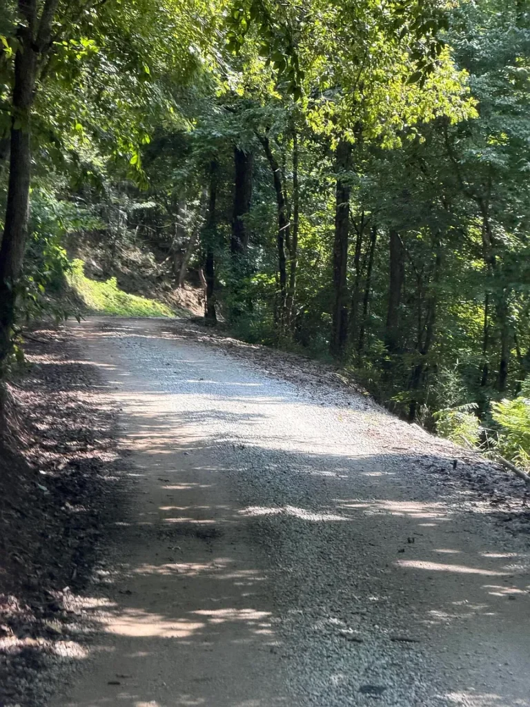
Hales Fork Road provides primary access via a well-maintained county gravel road.
- Daily Usability: A maintained gravel road ensures dependable year-round travel for standard passenger cars, delivery trucks, and service vehicles without navigating rutted mud roads during winter weather.
The Transition to the Old Dirt Road
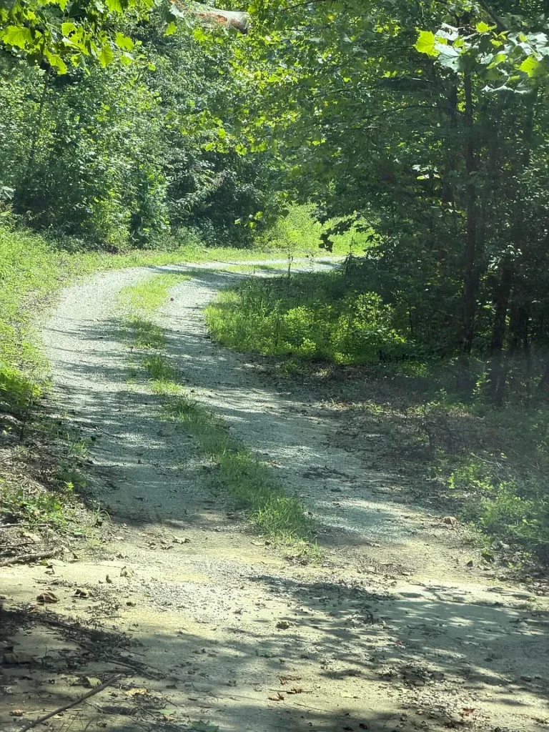
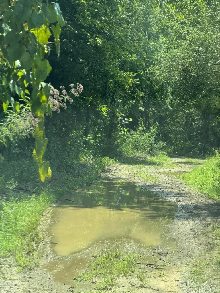
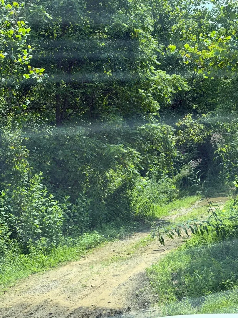
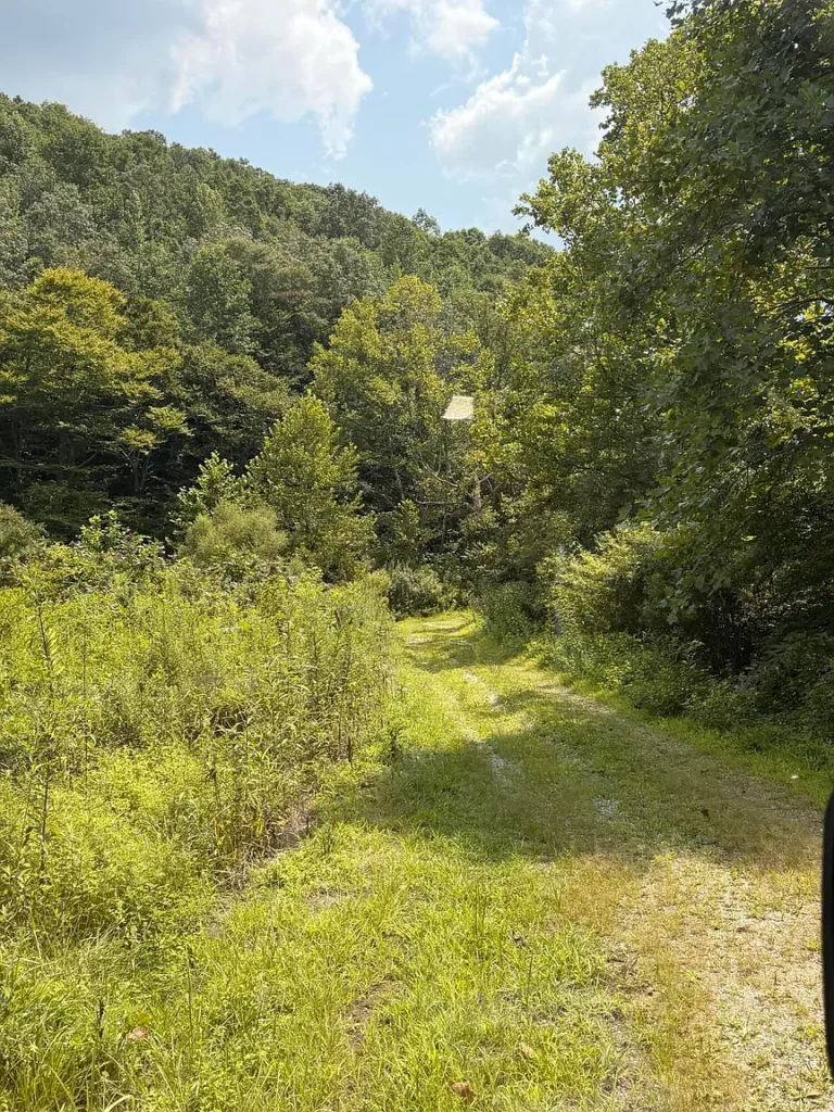
At the flat area near the old cemetery, the gravel road transitions into an old dirt road.Beyond this point, reaching the interior acreage requires a four-wheeler (ATV), utility vehicle (UTV), or high-clearance four-wheel-drive truck.
Budgeting for Road Upgrades
If a buyer wants to drive standard 2WD pickup trucks or passenger vehicles directly into the interior of the parcel, road clearing and site work will be required:
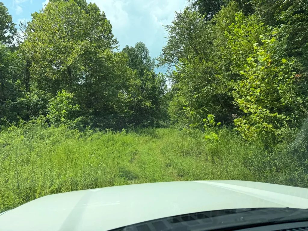
- Tree and Brush Clearing: Re-opening historic logging trails requires clearing saplings and brush that have grown over the last 34 years.
- Grading and Drainage: Grading a 10-foot-wide dirt road and cutting side ditches to prevent water erosion typically costs between $3 and $6 per linear foot.
- Gravel Application: Laying down crushed limestone gravel along a 500-foot interior drive costs roughly $2,500 to $5,000 depending on gravel depth and trucking distance.
For buyers seeking a low-cost recreational retreat, keeping the interior road as an off-road ATV/UTV trail preserves the wild, undisturbed character of the property while eliminating upfront road construction expenses.
Utility Infrastructure Assessment: On-Grid vs. Off-Grid Strategy
The listing confirms that utility lines run up Hales Fork Road, but no active utility hookups exist on the vacant land itself. A buyer planning to occupy the property must evaluate the costs of connecting to grid power versus installing standalone off-grid utility systems.
Evaluating On-Grid Utility Extensions
Having electrical infrastructure running along Hales Fork Road is a major advantage compared to land miles away from power lines.
- Overhead Line Extension: Electric utility companies typically charge for extending power poles down a private drive or dirt road. In Eastern Kentucky, line extensions average $15 to $30 per linear foot after any free allowance provided by the electric cooperative.
- Short Extensions vs. Long Runs: Bringing grid power to a building pad located near the flat cemetery landing area will be relatively inexpensive. Extending power 1,500 feet deep up a mountain ridge will add significant utility extension costs.
Evaluating Off-Grid Utility Alternatives
Given the $71,500 purchase price and recreational nature of the parcel, many buyers will consider off-grid utility setups:
- Solar Power SystemsA basic 3kW to 5kW off-grid solar power system with lithium battery storage and a dual-fuel backup generator costs between $6,000 and $14,000. Solar power provides complete energy independence without paying utility line-extension fees.
- Water Supply Options
- Drilled Water Well: Drilling a deep water well in Knox County costs between $5,500 and $10,000 depending on depth to the aquifer and casing needs.
- Rainwater Catchment: For seasonal cabins or hunting camps, a rainwater collection and filtration system offers a low-cost water alternative.
- Natural Creeks and Springs: The listing notes the presence of creeks on the property, which can provide water for livestock, wildlife, or non-potable camp use.
- Wastewater and Septic RequirementsBecause municipal sewer is unavailable in rural Dewitt, residential waste disposal requires a private septic system. Installing a standard 1,000-gallon gravity septic tank and drain field requires a soil percolation (“perc”) test and health department approval, typically costing between $7,500 and $12,000.
Financial Comparison: Raw Acreage Development vs. Turn-Key Sites
To determine whether $71,500 represents compelling value, it is helpful to compare 8888 Hales Fork Rd against the cost of buying pre-developed acreage in Knox County.
Hypothetical Pre-Serviced Scenario (20 Acres with Utilities and Survey)
A buyer seeking 20 acres of land in Southeastern Kentucky with an existing survey, active power drop, drilled well, septic tank, and gravel drive might pay $120,000 ($6,000 per acre). While the site is ready for immediate home placement, the buyer pays a heavy premium per acre and receives 45 fewer acres of ground.
Subject Property Scenario (8888 Hales Fork Rd – 65 Acres)
- Purchase Price: $71,500
- Professional Boundary Survey Estimate: $5,000
- Initial ATV Road Clearing and Site Grading: $3,500
- Off-Grid Solar Setup or Initial Power Drop: $8,000
- Drilled Water Well and Septic System Installation: $17,000
- Combined Estimated All-In Investment: $105,000
Under this developed scenario, the buyer spends approximately $105,000 total to establish a fully surveyed, utility-serviced 65-acre mountain estate. This works out to an effective all-in cost of roughly $1,615 per acre for developed land—demonstrating that acquiring raw acreage at $1,100 per acre and adding improvements strategically provides significant long-term equity potential.
Where 8888 Hales Fork Rd Stands Out (Core Potential Advantages)
Highlighting the primary strengths of this property illustrates why it represents a notable opportunity in the rural Kentucky market:
- Accessible $71,500 Entry Price: Acquiring 65 contiguous acres for under $75,000 provides a low barrier to entry for large-format land ownership.
- $1,100 Per-Acre Base Valuation: Represents one of the lowest price-per-acre ratios currently available in the region.
- 34 Years of Standing Timber Regrowth: Left untouched since 1992, the land holds mature hardwood timber reserves capable of generating selective harvest revenue.
- Unrestricted Land Use: Zero zoning restrictions grant total freedom for building off-grid cabins, homesteading, hunting, camping, or parking RVs.
- Established Maintained Gravel Access: County-maintained gravel road access off Hales Fork Road provides dependable travel to the property edge.
- Nearby Electrical Infrastructure: Power lines running along the main road simplify future electrical connections.
- Excellent Strategic Location: Combines rural privacy with reasonable driving distances—5.5 miles to local schools, 13 miles to retail/dining, and roughly 30 minutes to I-75 Exit 29 at Corbin, KY.
- Minimal Holding Overhead: Vacant, unimproved rural land in Knox County carries low annual real estate property tax rates, keeping ongoing holding costs minimal.
Potential Limitations and Risk Factors to Consider
An objective real estate evaluation must examine property limitations so buyers can prepare adequately.
- Lack of Formal Boundary Survey: The parcel is sold unsurveyed based on deed calls, requiring the buyer to fund a survey to establish exact boundary lines.
- Off-Road Vehicle Requirement for Interior Access: Navigating past the cemetery landing area requires 4WD vehicles, ATVs, UTVs, or road grading work.
- Predominantly Hillside Topography: Steep terrain limits broad agricultural cultivation or large-scale suburban-style building, favoring bench development and off-grid cabin placement.
- Absence of Active On-Site Utilities: No power drops, water well, or septic system exist on the parcel, requiring capital investment for residential living.
- Out-of-State Seller Context: The sellers have lived out of area and have not maintained or developed the land since 1992, meaning buyers must verify site conditions independently.
Buyer Profile Analysis: Who Benefits Most?
Matching property attributes with buyer needs clarifies who will derive the highest utility from 8888 Hales Fork Rd.
Ideal Buyer Candidates
- Recreational Hunters and OutdoorsmenFor hunters seeking a private 65-acre mountain tract, this property is ideal.The mix of 34-year hardwood timber, creeks, mountain ridges, and ATV access creates an exceptional habitat for deer, turkey, and bear at an affordable purchase price.
- Long-Term Timberland and Land-Banking InvestorsAn investor looking to hold tangible land as an inflation hedge will appreciate the baseline metric of $1,100 per acre.The standing timber provides an appreciating asset base, while low annual property taxes keep ongoing carrying costs negligible.
- Off-Grid Homesteaders and Privacy SeekersBuyers wanting complete independence will value the unrestricted zoning, flat landing area for a cabin, off-grid potential, and total mountain privacy.
- Neighboring Landowners Expanding Their FootprintAdjoining landowners in Knox County seeking to expand their acreage boundaries, secure timber rights, or create private recreational buffers.
Who Should Consider Looking Elsewhere?
- Turn-key residential buyers seeking a move-in-ready home requiring zero site work.
- Buyers who drive low-clearance passenger cars and do not want to own 4WD or ATV vehicles.
- Individuals seeking perfectly flat, tilled agricultural cropland.
What Buyers Should Verify Before Making an Offer (Due Diligence Checklist)
Executing thorough pre-offer due diligence protects buyers from unexpected expenses. Prospective buyers should complete the following technical verification steps:
- Title Search and Deed Chain Examination
- Retain a local Kentucky real estate attorney to conduct a full title search on Parcel ID 150-00-00-009.00, verifying clear ownership, checking for outstanding tax liens, and reviewing historical deed calls.
- Boundary Line Research and Survey Quotes
- Review county Property Valuation Administrator (PVA) tax maps and contact licensed Kentucky land surveyors to obtain firm written quotes for a 65-acre boundary survey.
- Professional Timber Cruise
- Consult an independent consulting forester to perform a preliminary timber evaluation across the 65 acres, estimating standing sawtimber volume, species composition, and commercial market value.
- Utility Extension Estimates
- Contact the local electric distribution cooperative servicing Hales Fork Road to get written cost estimates for extending overhead power lines from the main road to your planned building location.
- Physical Site Walkthrough
- Walk the property in person using GPS mapping applications (such as OnX Offroad or LandGlide) to inspect the flat cemetery landing area, evaluate the dirt access road, walk mountain benches, and examine creek features.
- Soil Percolation Testing
- Consult with the Knox County Health Department regarding soil percolation requirements for private septic permitting on the flat building pad.
- Right-of-Way and Access Verification
- Confirm that the dirt access road extending past the gravel section carries clear public access rights or recorded deeded right-of-way easements.
Final Verdict: Is 8888 Hales Fork Rd Worth the Investment?
8888 Hales Fork Rd represents an exceptional entry-level opportunity in the Southeastern Kentucky land market.Listed at $71,500 for 65 +/- acres ($1,100 per acre), the property provides a remarkable ratio of raw acreage footprint, timber assets, and privacy relative to its purchase price.
Its primary strengths lie in its 34 years of standing timber regrowth, complete absence of zoning restrictions, established county gravel road frontage, and close proximity to major regional hubs like Corbin and Interstate 75. It avoids the inflated per-acre prices common to smaller residential lots, allowing a buyer to secure a substantial mountain land package for less than $75,000.
The primary trade-offs stem from its unsurveyed status, its transition to off-road dirt access, its predominantly hillside topography, and the need to establish private utilities.
For recreational hunters, timber investors, off-grid homesteaders, or land buyers seeking an affordable piece of Kentucky heritage to develop on their own terms, 8888 Hales Fork Rd is well worth a physical walk-through and thorough due diligence review.
Listed on Zillow