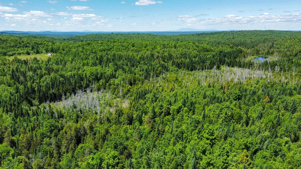
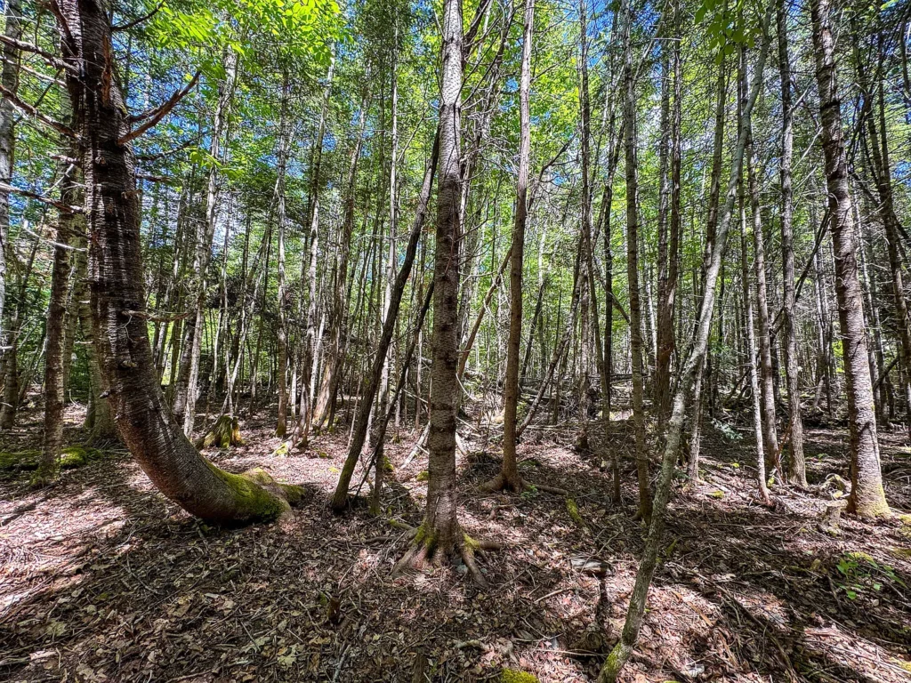
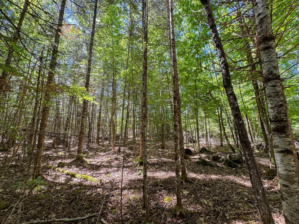
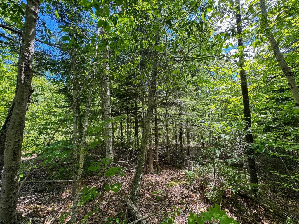
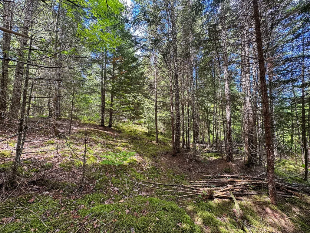
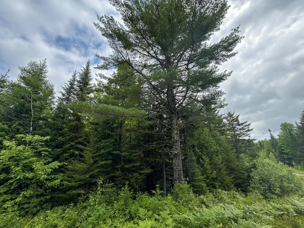
At $951.19 per acre for 84 surveyed acres of timberland in eastern Penobscot County, Lot B on Lookout Lane in Springfield, Maine (ZIP 04487) presents an accessible entry point for large-acreage land ownership in Northern New England. Featuring 1,000 linear feet of frontage on an unnamed beaver pond complex forming the headwaters of Bog Brook, approximately 4,000 feet of driveable interior roads, and annual property taxes of just $940 per year ($78.33 per month), this property offers a low-overhead footprint for off-grid homesteading, recreational hunting, or long-term timber investment.
Property Specification Summary
| Property Parameter | Official Listing Disclosures & Public Records |
| Street Address / Parcel ID | Lot B Lookout Lane, Springfield, ME 04487 (Parcel: blookoutlanespringfieldmaine04487) |
| County / Regional Market | Penobscot County / Eastern Maine Submarket |
| Current Asking Price | $79,900 (Reduced by $10,000 / -11.1% on August 27, 2026) |
| Original Peak List Price | $95,000 (June 26, 2026) |
| Cumulative Price Reduction | -$15,100 (-15.89% total drop from peak list price) |
| Total Surveyed Land Area | 84.00 Acres (3,659,040 Square Feet) |
| Price Per Acre | $951.19 per acre |
| Price Per Square Foot of Land | $0.0218 per sq. ft. (approx. 2.2 cents/sq. ft.) |
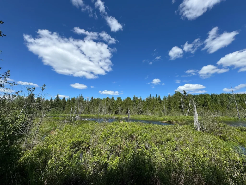
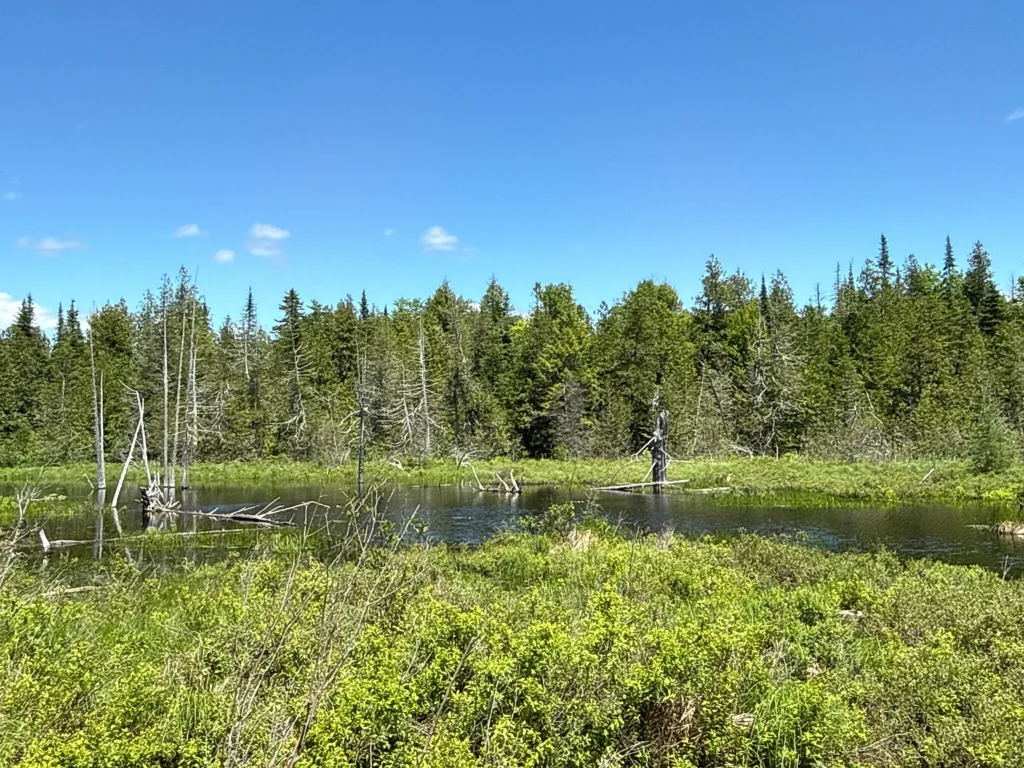
| Waterfront Ownership | 1,000 Feet of Frontage on Unnamed Beaver Pond (Bog Brook Headwaters) |
| Price Per Linear Foot of Water | $79.90 per linear foot (assigning 100% purchase value to pond frontage) |
| Interior Road Infrastructure | ~4,000 Linear Feet of Driveable Dirt/Gravel Interior Access Roads |
| Survey Status | Fully Surveyed in 2020 (Corners and boundaries clearly marked) |
| Elevation Profile | 600 Feet to 720 Feet Above Sea Level |
| Electrical Infrastructure | 100% Off-Grid (No Grid Electric Connection) |
| Wastewater & Water Needs | Septic System Needed; Private Water Well Needed |
| Zoning Classification | Shoreland Zoning Overlay |
| Annual Property Taxes | $940.00 per year ($78.33 per month / $11.19 per acre annually) |
| Homeowners Association (HOA) | None ($0.00 / month) |
| MLS Identifier | Maine Listings MLS #1668072 |
Financial Metrics and Price Trajectory Analysis
Evaluating an 84-acre rural land parcel requires analyzing unit acquisition rates, holding cost efficiency, and recent market repricing dynamics.
Valuation and Per-Unit Calculations
- Asking Price: $79,900
- Price Per Acre: $79,900 ÷ 84.0 acres = $951.19 per acre
- Price Per Square Foot: $79,900 ÷ 3,659,040 sq. ft. = $0.0218 per sq. ft.
- Waterfront Valuation: $79,900 ÷ 1,000 linear feet = $79.90 per linear foot of pond frontage
In eastern Penobscot County, surveyed recreational acreage with interior road networks generally trades between $1,200 and $2,000 per acre. An entry point of $951.19 per acre reflects a strong discount, pricing in its off-grid nature and unpaved gravel access corridor.
Price History and Trajectory Analysis
Reviewing public listing records across the 2026 sales cycle highlights seller price discovery over a 70-day window:
| Date | Event / Listing Status | Asking Price | Price Per Acre | Net Price Adjustment |
| June 19, 2026 | Initial Market Launch | $90,000 | $1,071.43 / acre | Baseline Launch Price |
| June 26, 2026 | Price Increase | $95,000 | $1,130.95 / acre | +$5,000 (+5.56%) |
| July 10, 2026 | Price Reduction | $89,900 | $1,070.24 / acre | -$5,100 (-5.37%) |
| August 27, 2026 | Price Reduction | $79,900 | $951.19 / acre | -$10,000 (-11.12%) |
The net price reduction of $15,100 (-15.89%) from its $95,000 peak breaks the listing below the $1,000/acre threshold, driving increased visibility for cash land buyers and acreage investors.
Fixed Holding Overhead and Tax Efficiency
- Annual Property Tax Bill:$940.00 per year
- Monthly Property Tax Burden: $940 ÷ 12 months = $78.33 per month
- Annual Per-Acre Tax Carrying Cost: $940 ÷ 84.0 acres = $11.19 per acre annually
- HOA Fees: $0.00 per month
At $78.33 per month, holding costs are minimal. An investor or off-grid homestead builder can hold title to 84 acres indefinitely with negligible carrying risk.
Topography, Soil Mapping, and Interior Infrastructure
The physical terrain, soil composition, and access network define the property’s operational utility.
Elevation Profile and Soil Mapping
- Terrain Variance: Elevation ranges from 600 feet near low drainage basins to 720 feet above sea level along upper ridges.
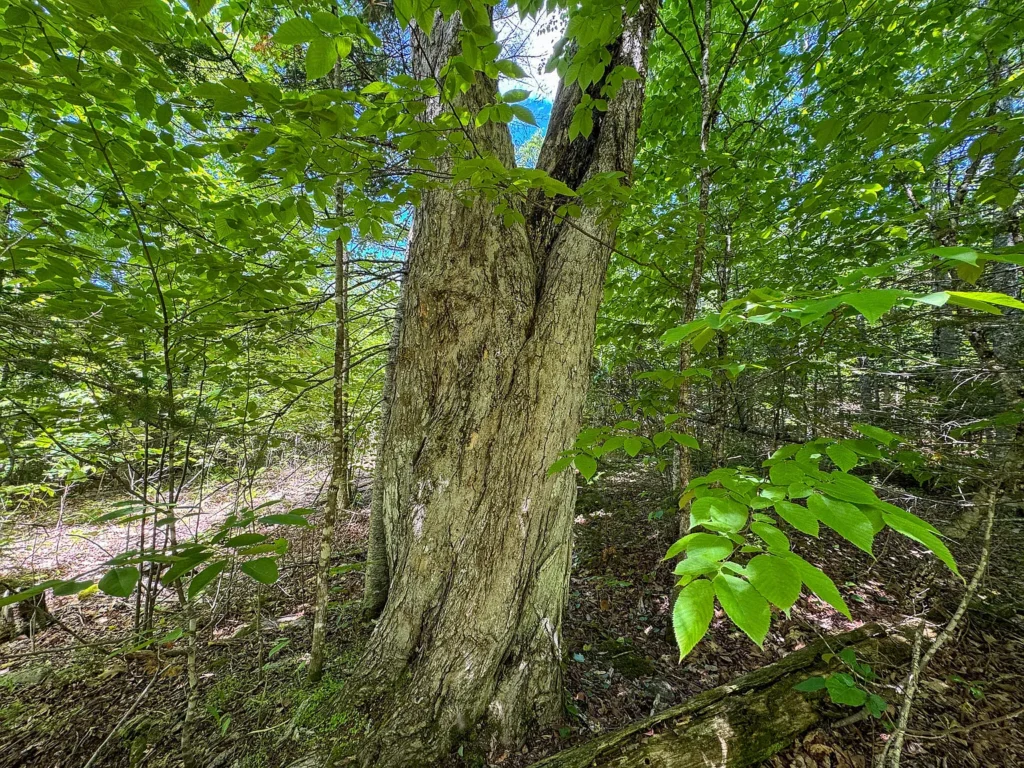
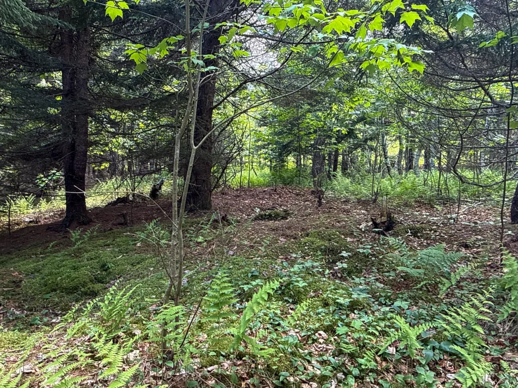
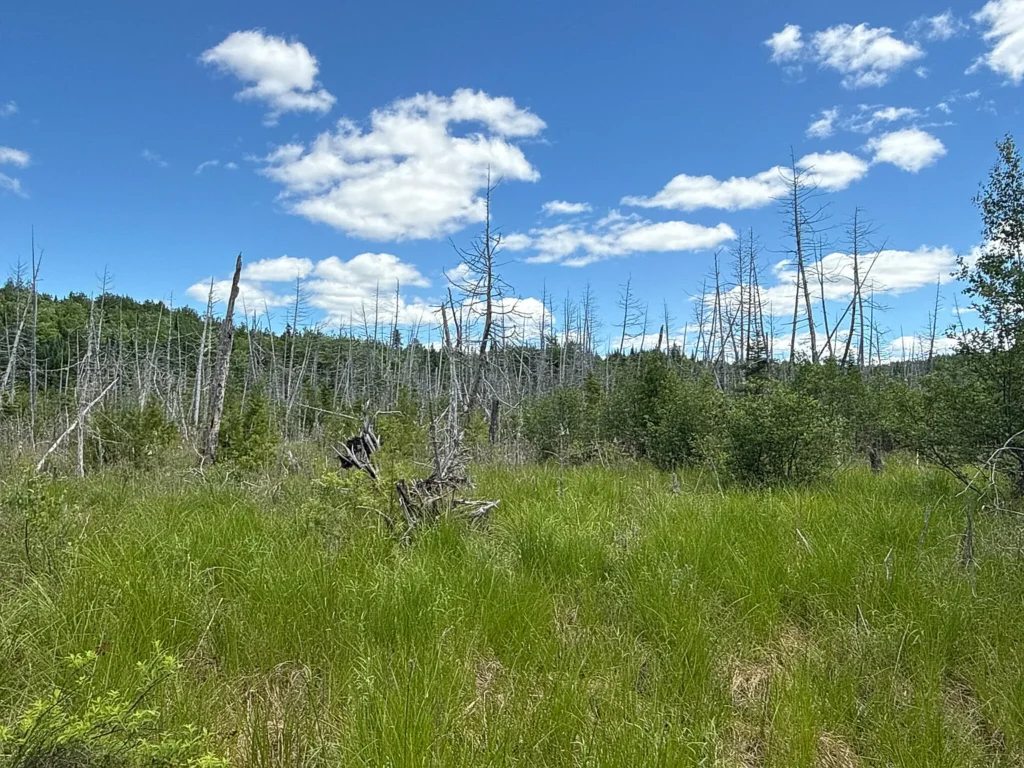
- Soil Classifications: Soil mapping confirms Thorndike silt loams on higher ground—providing well-drained, productive soil suitable for building envelopes, cabin foundations, and homestead gardens. Drainage corridors feature Monarda and Burnham soils, supporting natural wetland hydrology.
Interior Road Access (~4,000 Linear Feet)
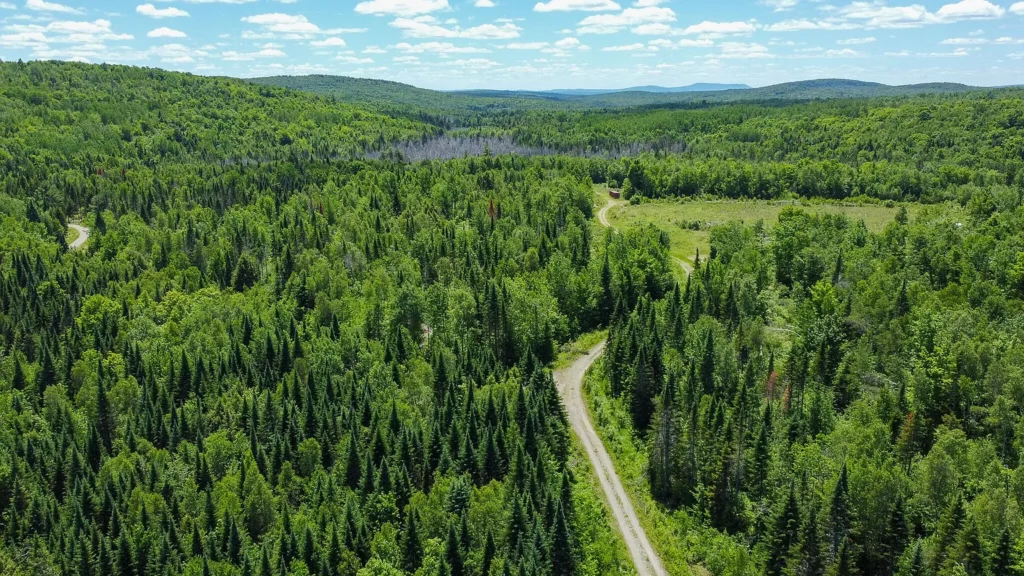
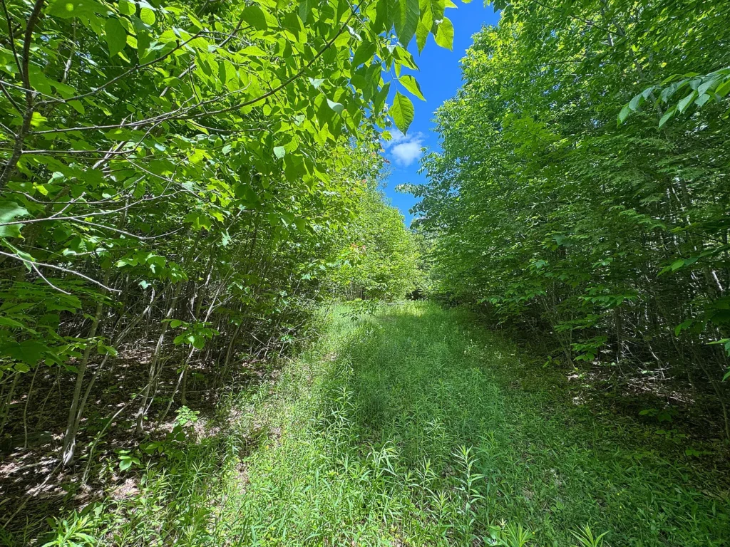
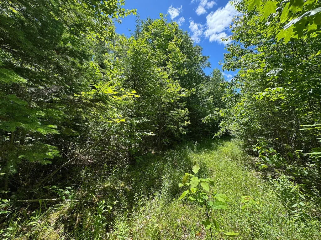
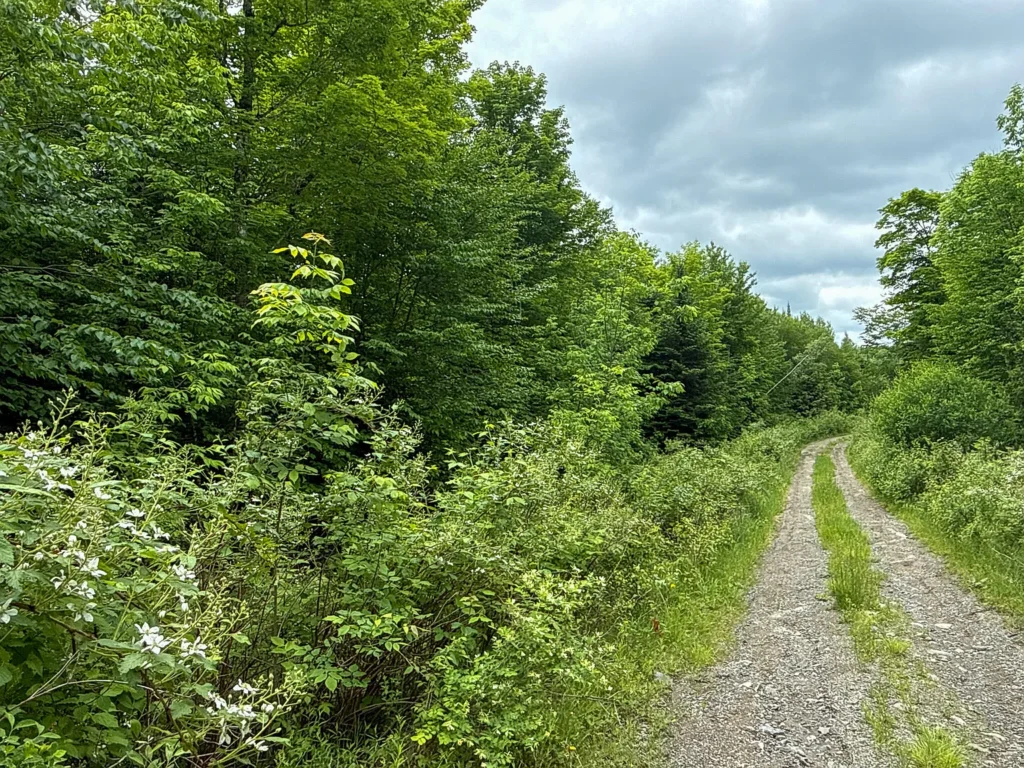
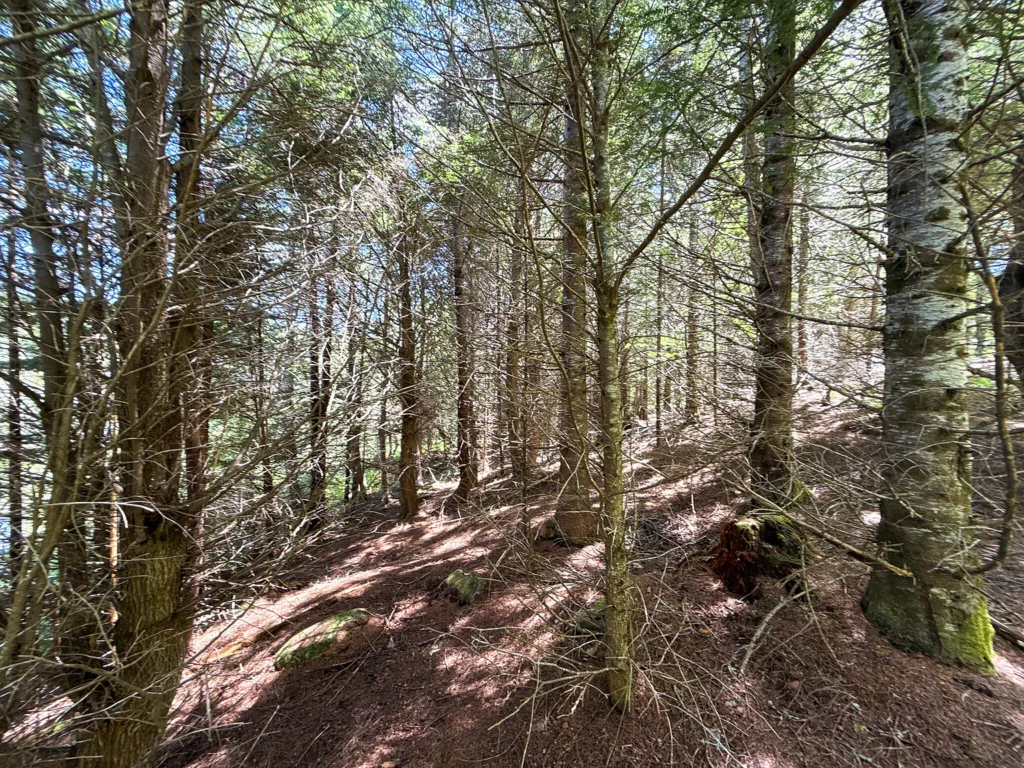
A major feature of Lot B is its ~4,000 feet of mapped interior roads established during historical timber harvesting.
- Vehicle Accessibility: The interior trail network allows access by standard truck, side-by-side, or ATV without initial clearing costs.
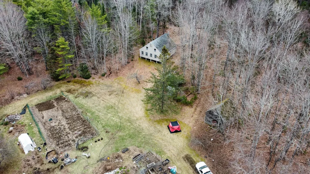
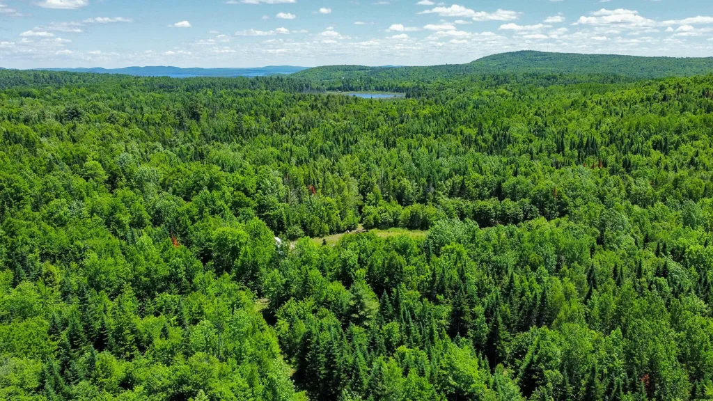
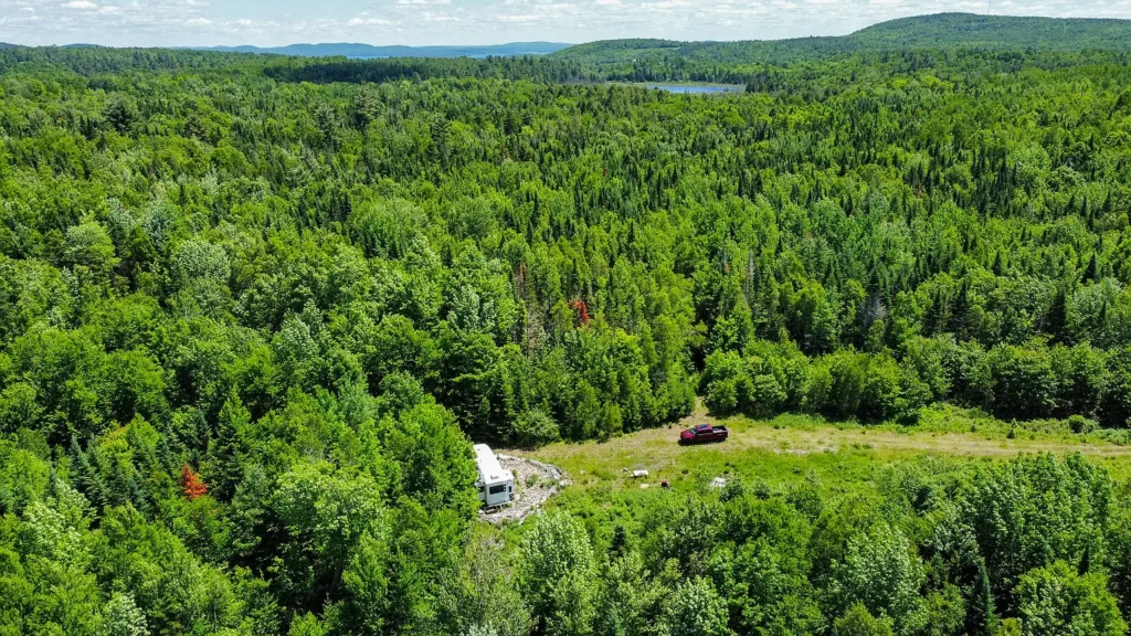
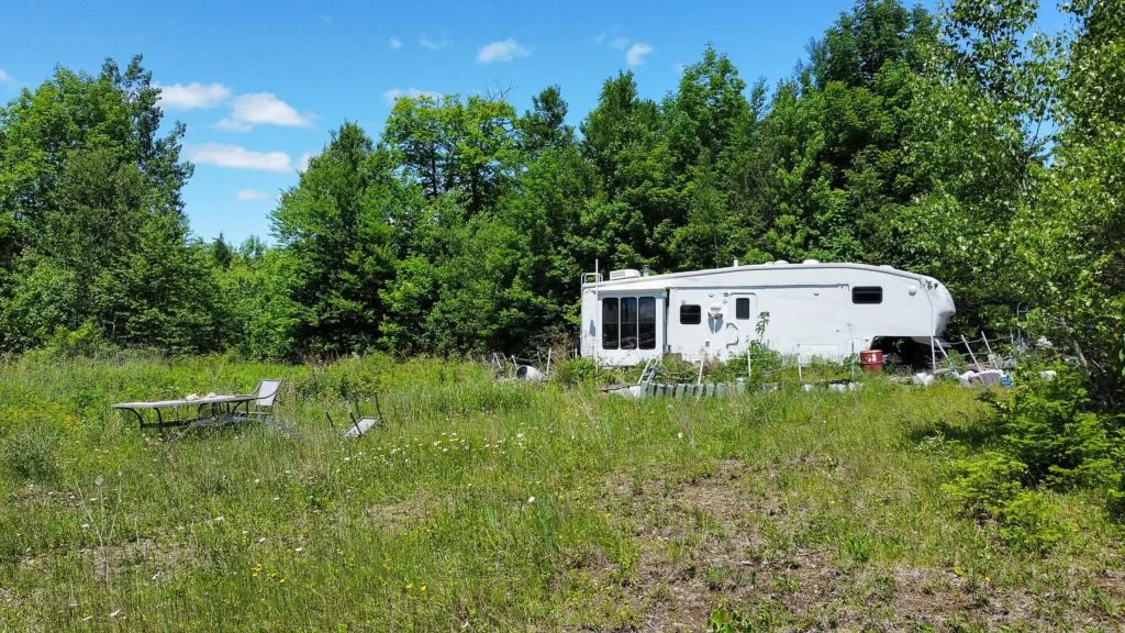
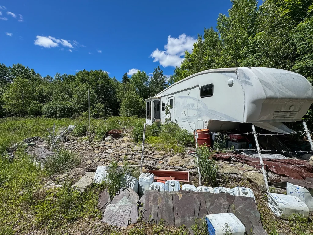
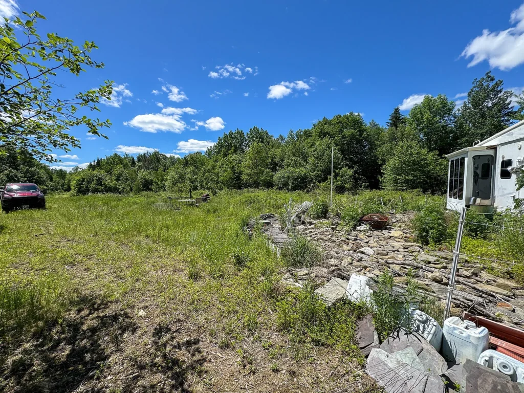
- Building Sites:Multiple potential clearing locations exist along the road system, including an established campsite near the road’s end where a camper currently resides.
Water Frontage and Wildlife Habitat
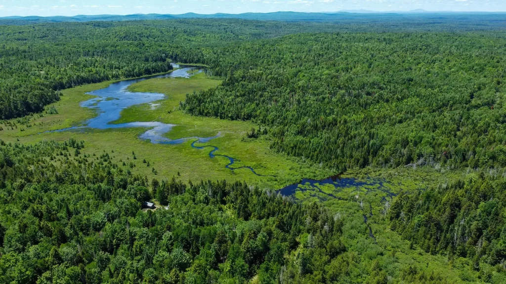
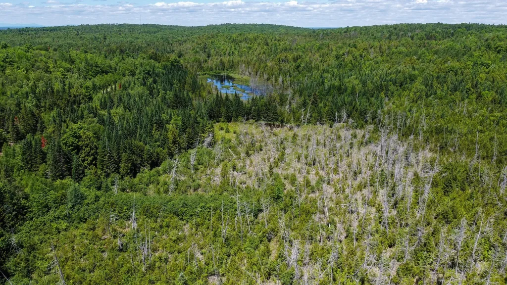
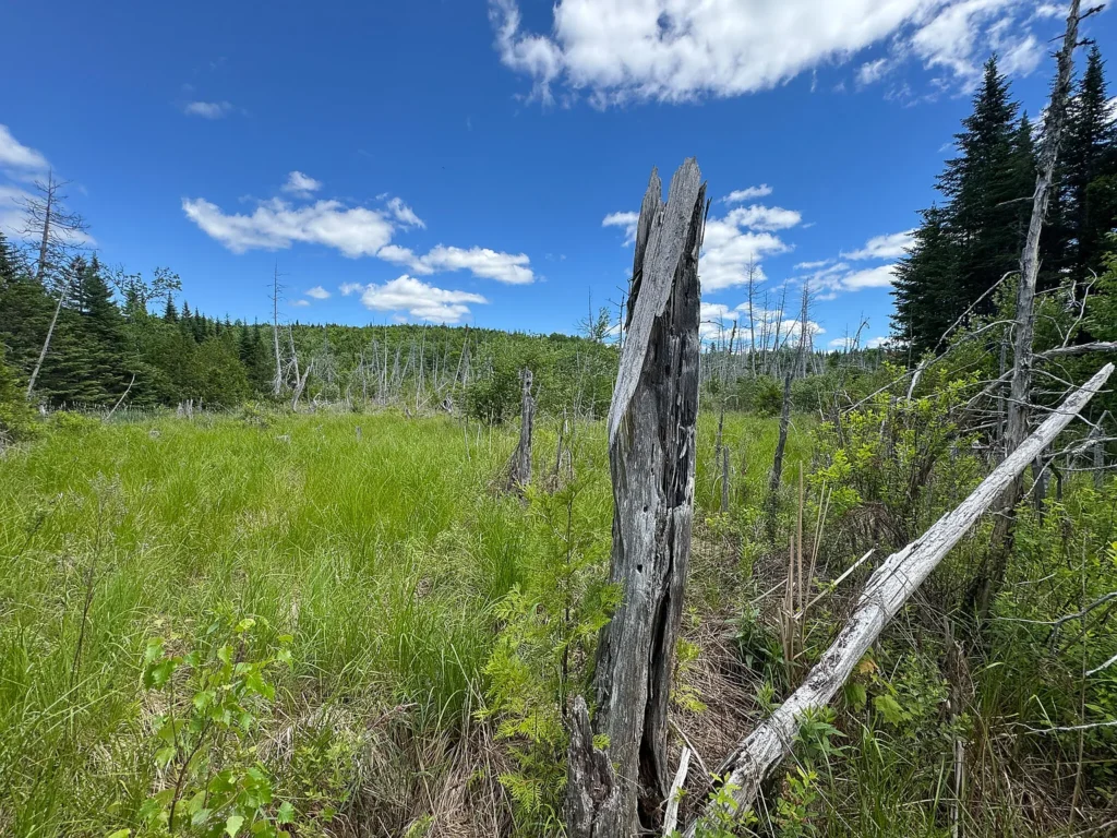
- Unnamed Beaver Pond (1,000 Ft Frontage):The parcel includes 1,000 feet of owned frontage along a beaver pond and brook complex that feeds Bog Brook.
- Recreational Proximity: Located a few miles from the West Grand Lake Chain, offering regional access to cold-water salmon and trout fishing.
Off-Grid & Utility Infrastructure Audit
Lot B is a 100% unimproved, off-grid land footprint requiring independent utility planning.
- Power Generation: Grid power is not present along Lookout Lane. Electrification requires a solar photovoltaic array with LiFePO4 battery storage, a standby generator, or a hybrid system.
- Domestic Water Supply: No active well exists. Cabin placement requires drilling a private bedrock well or constructing a shallow point/cistern setup.
- Wastewater Management: Siting a cabin requires hiring a licensed Maine site evaluator to conduct a soil test (Form HHE-200) for a conventional septic tank and leach field design.
- Shoreland Zoning Compliance: Structural development near the 1,000-foot beaver pond frontage is governed by Maine Shoreland Zoning rules, requiring standard setbacks (typically 75 to 250 feet from the high-water mark).
Comparative Value Analysis: Subject Property vs. Regional Alternatives
| Property & Location | Total Acreage | Purchase Price | Price Per Acre | Road Infrastructure | Water Frontage |
| Lot B Lookout Lane (Subject) | 84.00 Acres | $79,900 | $951.19 / acre | ~4,000 Ft Interior Roads | 1,000 Ft Pond Frontage |
| Raw Landlocked Timber Lot | 40.00 Acres | $45,000 | $1,125.00 / acre | None (Overgrown Trails) | None (Dry Land) |
| Small Grid-Tied Rural Lot | 5.00 Acres | $35,000 | $7,000.00 / acre | Driveway Cut Only | None |
Key Advantages vs. Potential Risks
Key Advantages
- Sub-$1,000/Acre Unit Rate:Offered at $951.19 per acre for 84 surveyed acres.
- Extensive Interior Roads: ~4,000 feet of driveable interior access roads save significant site development costs.
- Water Frontage: 1,000 feet of owned frontage on a beaver pond/brook headwater complex.
- 2020 Professional Survey:Boundary lines and corner markers are clearly defined.
- Low Holding Overhead:Annual property taxes total $940 per year ($78.33/month) with $0 HOA fees.
Potential Risks and Limitations
- 100% Off-Grid Requirement: Requires self-contained solar, battery, or generator power solutions.
- Private Utility Capital Required: Installation of a private water well and septic system is necessary for residential use.
- Shoreland Setback Restrictions: Construction near the pond requires strict adherence to municipal shoreland buffers.
Target Buyer Profiles
| Buyer Category | Profile Characteristics | Compatibility Fit |
| Hunters & Outdoor Enthusiasts | Buyers seeking an 84-acre private hunting tract with ATV trail access and natural water features. | Ideal Fit |
| Off-Grid Homesteaders & Cabin Builders | Purchasers seeking surveyed land with existing interior roads and well-drained building sites. | Ideal Fit |
| Long-Term Land Speculators | Investors seeking to land-bank 84 acres at sub-$1,000/acre with minimal $78/month carrying costs. | Ideal Fit |
| Suburban Turnkey Homebuilders | Buyers requiring municipal water, city sewer, and grid electricity drops. | Unfavorable Fit |
Essential Buyer Due Diligence Checklist
- Review 2020 Boundary Survey Map:Examine survey markers to verify corner pins and boundary lines.
- Perform Soil Test (Form HHE-200): Retain a licensed Maine site evaluator to test Thorndike silt loam areas for septic suitability.
- Map Shoreland Setbacks: Confirm municipal setback distances from the beaver pond shoreline prior to siting permanent structures.
- Inspect Interior Access: Walk or drive the 4,000 feet of interior roads to evaluate culverts and seasonal maintenance needs.
- Verify Deed Ingress/Egress: Confirm deeded rights along Lookout Lane connecting to public roads.
Final Verdict
Lot B Lookout Lane in Springfield, Maine, provides a compelling large-acreage opportunity. Offered at $79,900 ($951.19 per acre) for 84 surveyed acres, its primary strengths include its ~4,000 feet of interior roads, 1,000 feet of beaver pond frontage, low $78.33/month property taxes, and 2020 survey verification. For hunters, off-grid builders, or land investors seeking sub-$1,000/acre timberland in Penobscot County, Lot B represents a solid value proposition.
Listed on Zillow