Priced at $80,000—which breaks down to $1,034.93 per acre—this 77.3-acre historical mining parcel on 299 Easy Street in Ingot (ZIP 96003, Shasta County) presents a unique land acquisition roughly 20 miles east of Redding along Highway 299. The property encompasses the historic Afterthought Smelter site, where silver, copper, zinc, and gold ore were mined and processed starting in 1862.
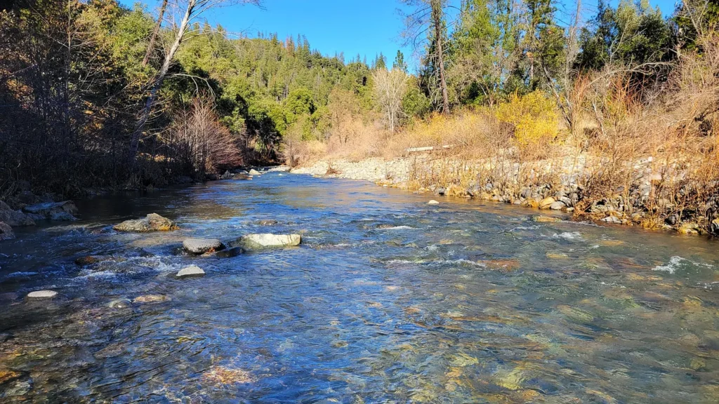
The land features approximately 580 feet of year-round frontage along Cow Creek, direct western boundary adjacency to 292 acres of public Bureau of Land Management (BLM) land, reported mineral rights from 0 to 100 feet depth, and an upper flat bench at 1,550 feet elevation offering views of Mt. Lassen. However, the defining operational factor is its status as a federally designated EPA Superfund site (National Priorities List) due to legacy heavy metal contamination and acid mine drainage. With public funding covering government cleanup activities, this property caters to speculative land-bankers, history enthusiasts, environmental investors, and recreational buyers who understand CERCLA liability protections.
Core Property Specifications & Technical Baseline
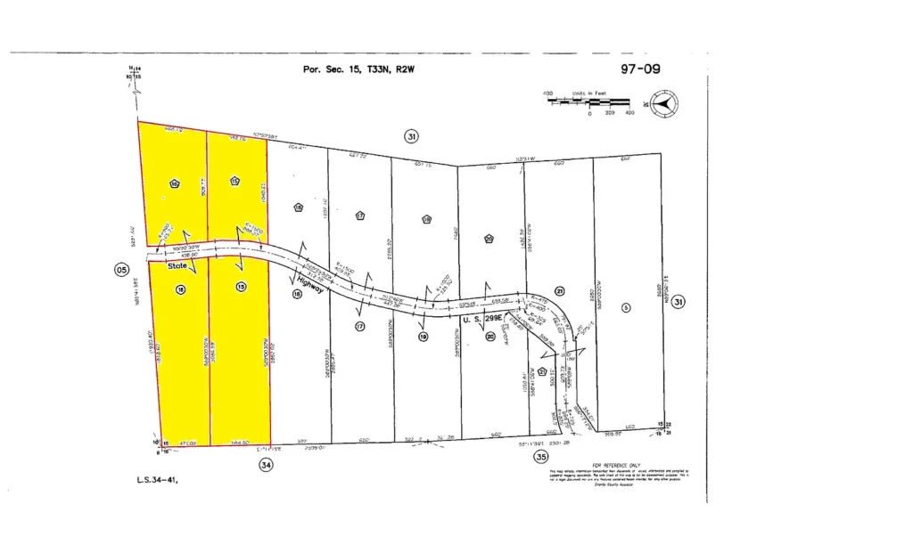
Evaluating Shasta County public records (Parcel ID: 097090015000) and official listing disclosures establishes the baseline parameters for this Ingot acreage.
| Property Parameter | Listing Disclosures & County Public Data Baseline |
| Street Address | 299 Easy St, Redding (Ingot Area), CA 96003 |
| County / Region | Shasta County / Northern California Klamath-Cascade Foothills |
| Parcel Identification (APN) | 097090015000 |
| Current Asking Price | $80,000 (Listed September 18, 2026) |
| Total Deeded Footprint | 77.30 Acres (3,367,188 Square Feet) |
| Price Per Acre | $1,034.93 per acre |
| Price Per Square Foot | $0.0238 per sq. ft. |
| Environmental Designation | EPA Superfund Site (National Priorities List – Afterthought Mine/Smelter) |
| Mineral Rights Status | Reported 0 to 100 Feet Depth Included |
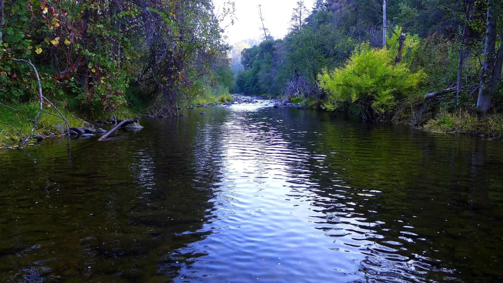
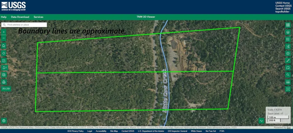
| Water Frontage | ~580 Feet along Year-Round Cow Creek (Fish-Bearing Stream) |
| Adjoining Public Lands | Direct Western Boundary Adjacency to 292 Acres of BLM Public Land |
| Elevation Profile | 1,100 Feet to 1,550 Feet Above Sea Level (Below Seasonal Snow Line) |
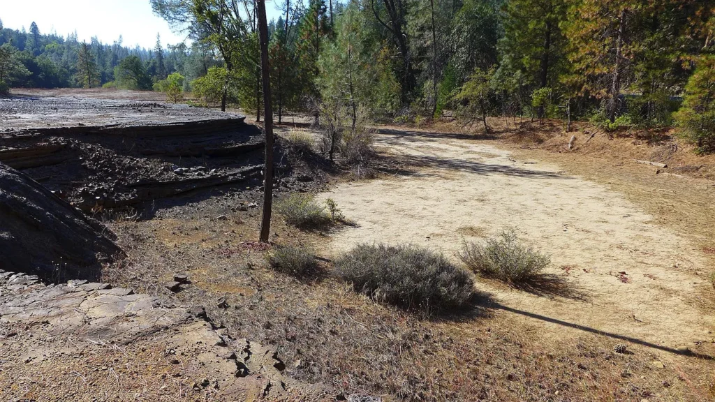
| Topography Profile | Upsloping, Steep, Downsloping, Smelter Benches, Upper Flat Pad |
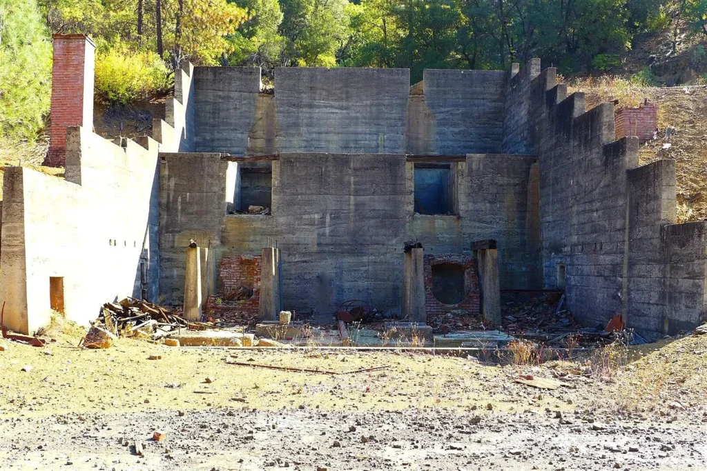
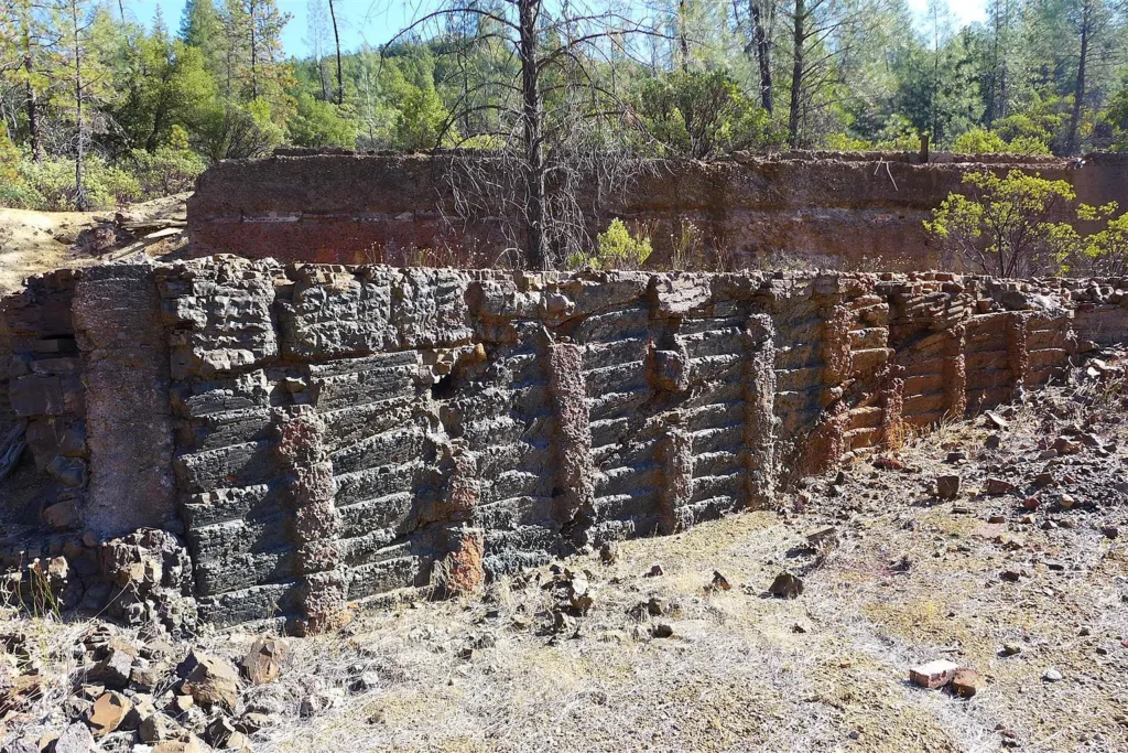
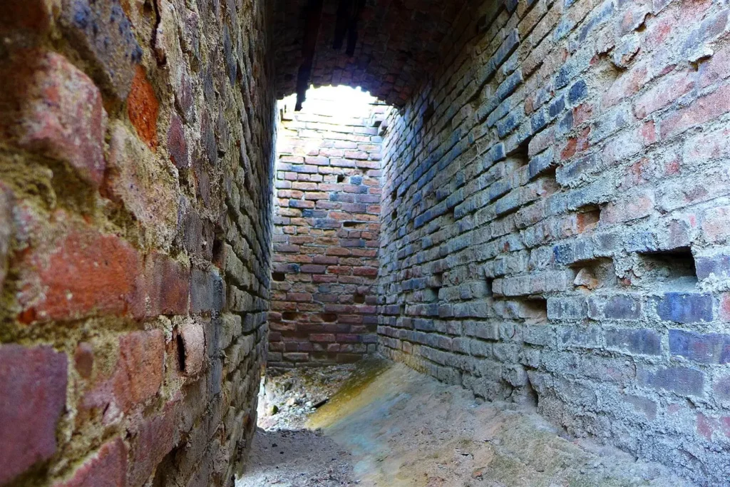
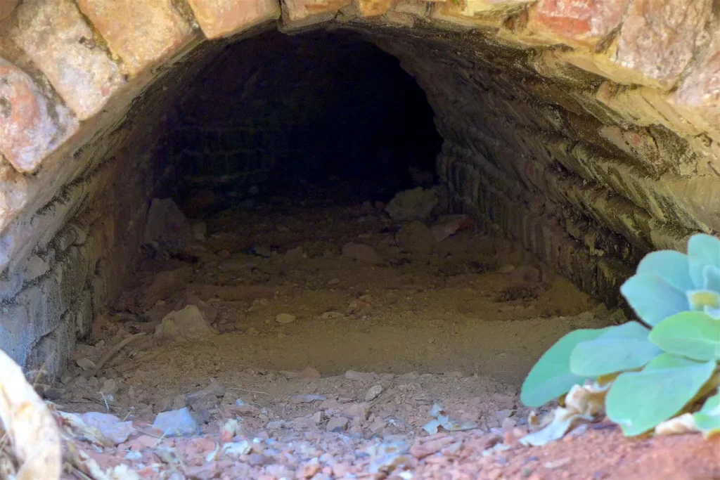
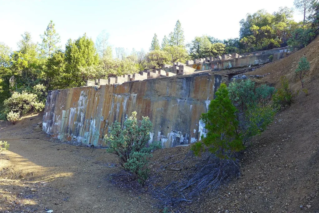
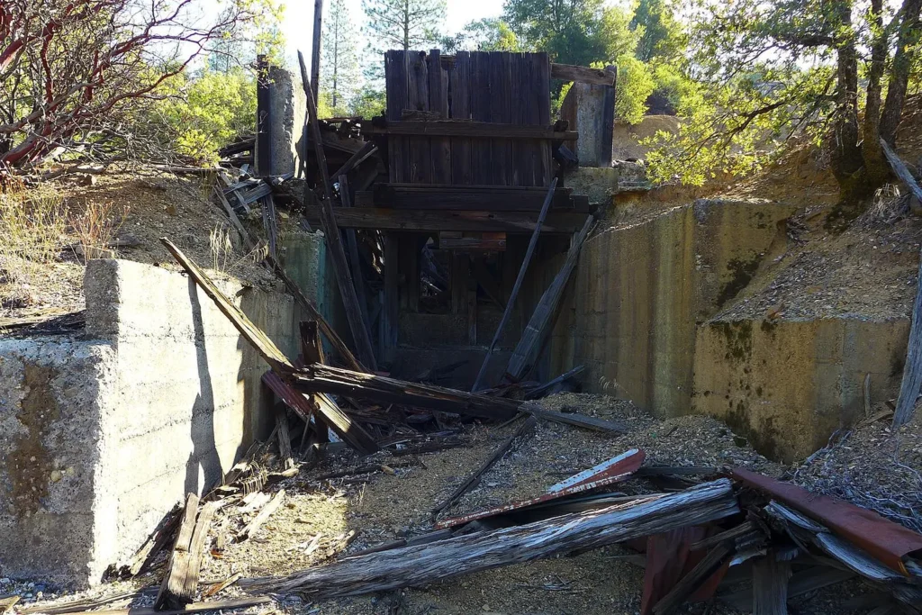
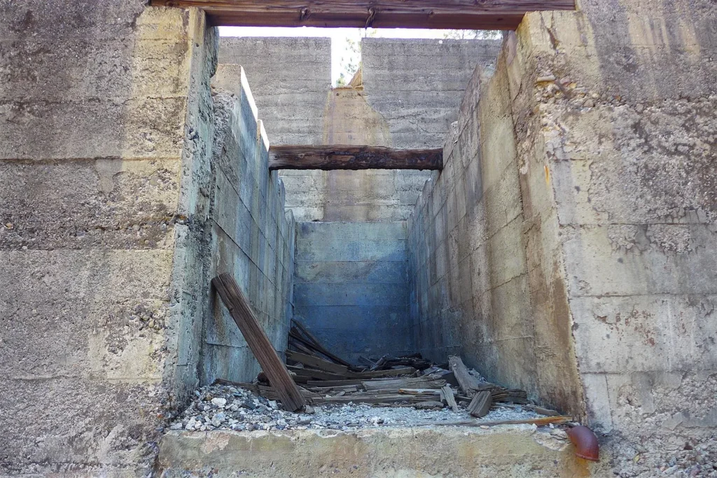
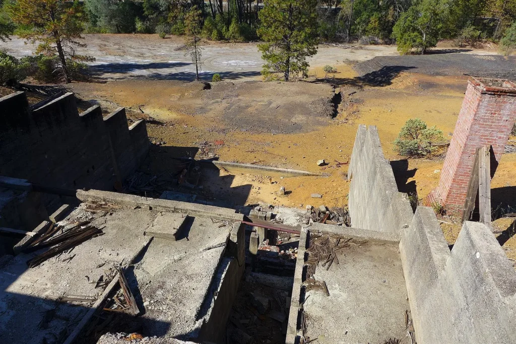
| Existing Improvements | Historic Concrete Smelter Ruins, Brick Flue Tunnels, Timber Chutes |
| Access & Road Surface | Highway 299 Frontage (Asphalt) & Internal Steep Dirt Access Trail |
| Listing Terms | Cash, Owner Carry 1st / Owner May Carry |
| Annual Property Taxes | Projected ~$800.00 – $1,100.00 per year (~$67 – $92 per month) |
| HOA / Association Dues | None ($0.00 / month) |
Historic Mining Legacy & EPA Superfund Framework
1. The Afterthought Mine & Smelter History
- Mining Operations: Mined for silver, copper, zinc, and gold starting in 1862 during the Copper Hill and Silver City rushes. The site housed a major smelter facility that processed ore until permanent closure in the mid-20th century.
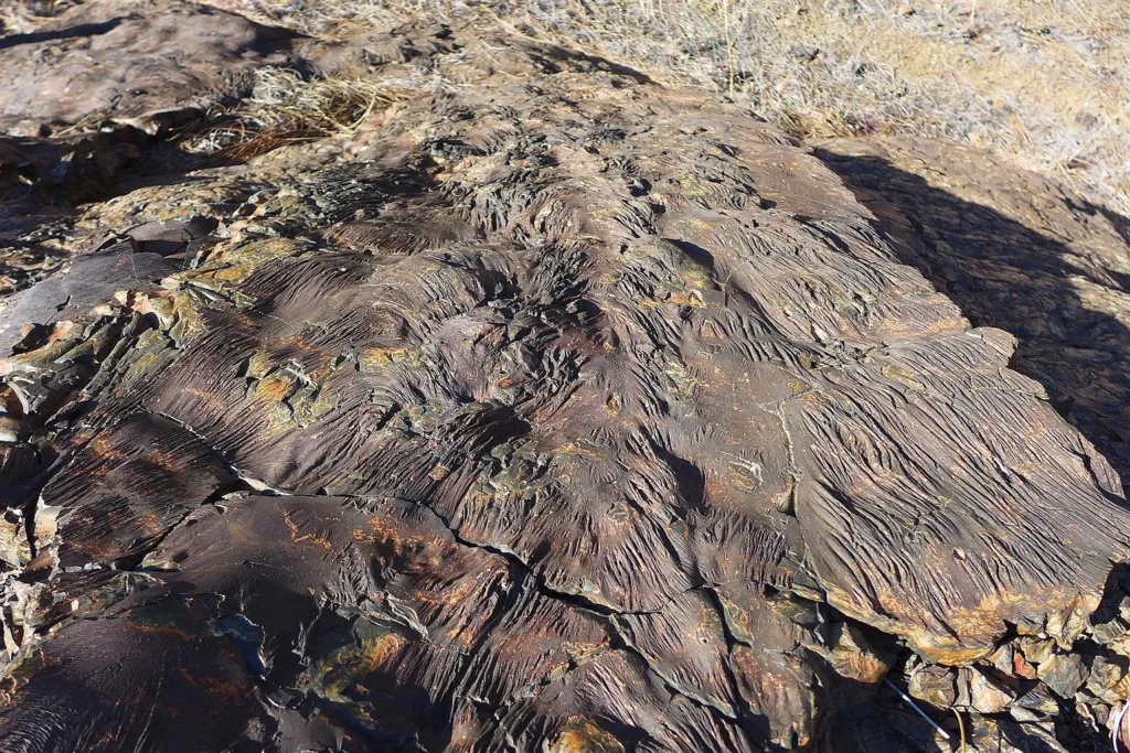
- National Priorities List (NPL) Inclusion: In September 2024, the U.S. EPA officially added the Afterthought Mine site to the Superfund National Priorities List (NPL). The site was designated due to acid mine drainage, tailings, and waste rock leaching cadmium, copper, and zinc into Cow Creek.
2. EPA Cleanup Mechanics & Operational Zoning
- Government-Funded Remediation: Federal Superfund program funds cover ongoing environmental investigations and permanent remediation at no direct cost to the property owner.
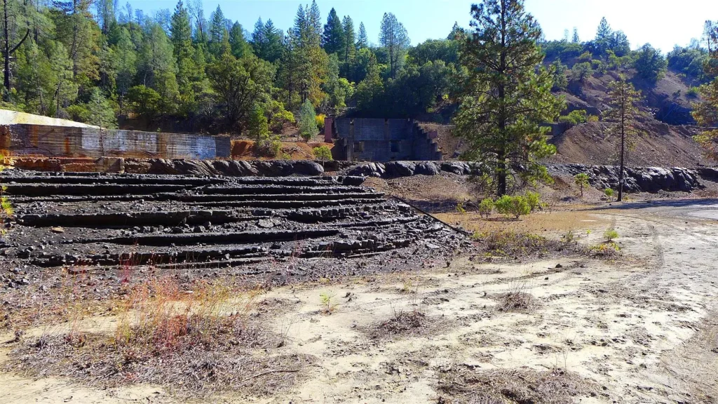
- Highway & Creek Strip (Restricted Active Zone): The lower area near Highway 299 and the creek contains historical waste rock and smelter ruins, where active EPA testing and remediation continue. Recreational use should be restricted in this area during cleanup.
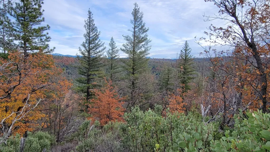
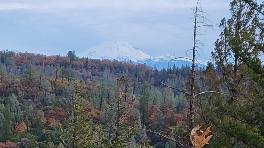
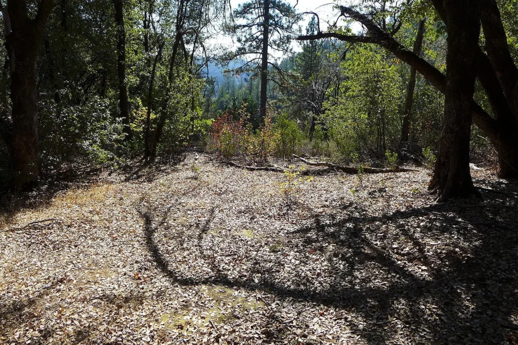
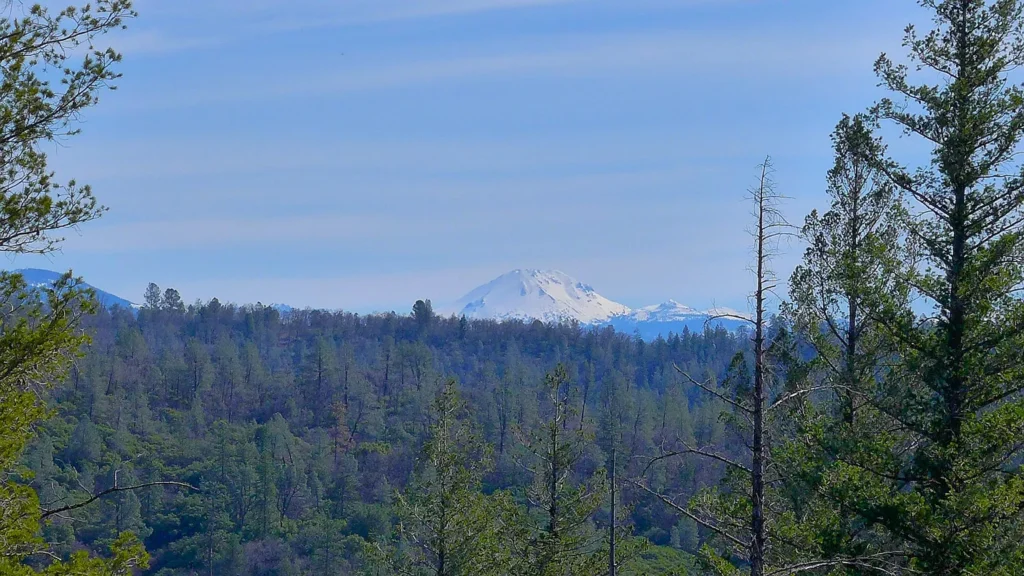
- Upper West Bench (Clean Buffer Zone): Situated at 1,550 feet elevation, the upper western portion of the property sits above the historic smelter basin, providing a clean recreational buffer area with views of Mt. Lassen and direct access to adjacent BLM land.
Site Topography, Natural Assets, & Recreational Use
1. Cow Creek Frontage (~580 Feet)
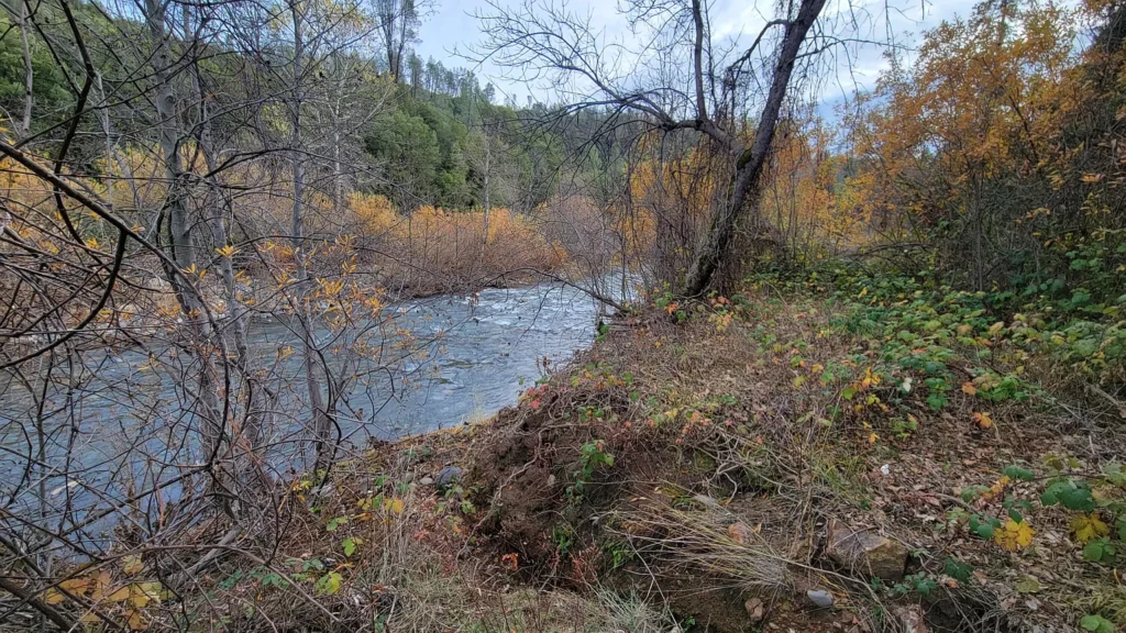
The property includes approximately 580 feet of year-round frontage along Cow Creek. The creek supports wild fish populations and riparian vegetation. Environmental monitoring by the EPA ensures long-term management of historical runoff.
2. Upper Bench Retreat & Mt. Lassen Vistas
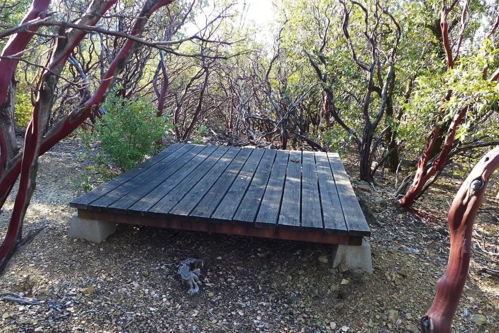
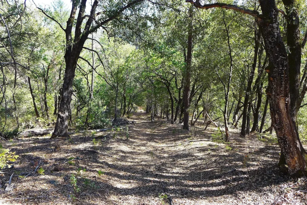
From Highway 299, a steep dirt trail less than 0.5 miles long ascends the western slope to an upper flat bench at approximately 1,550 feet elevation. This area sits above the historic smelter basin, offering a private recreational pad with views toward Mt. Lassen.
3. BLM Boundary Adjacency (~292 Acres)
The western border of the parcel directly abuts approximately 292 acres of contiguous Bureau of Land Management (BLM) public land. This shared border provides extended hiking, horseback riding, and hunting access into surrounding public timberland without additional property tax burden.
Unbundled Valuation & Asset Allocation Breakdown
To evaluate the $80,000 asking price, the property’s total market value can be separated across upper recreational acreage, creek frontage, BLM access benefits, and the encumbered smelter basin.
| Asset Component | Estimated Value Allocation | Calculation Basis & Market Context |
| Upper View Bench & Recreational Ground (25 AC) | $43,750 | Valued at $1,750/AC baseline for unencumbered view land with Mt. Lassen vistas |
| Cow Creek Frontage Strip (~580 Ft) | $18,000 | Assigned at $31/linear foot premium for year-round creek frontage |
| BLM Boundary Adjacency & Access (25 AC) | $15,000 | Valued at $600/AC for steep western acreage bordering 292 acres of BLM land |
| Historic Smelter Basin & Tailings Area (27.3 AC) | $3,250 | Heavily discounted (~$119/AC) due to EPA Superfund status & active cleanup |
| Mineral Rights (0–100 Ft Depth) | $0 | Warranted at $0 due to environmental restrictions on active mineral extraction |
| TOTAL ESTIMATED ASSET VALUE | $80,000 | Matches current asking purchase price ($1,034.93 / acre basis) |
Projected Capital Expenditure (CapEx) & Environmental Due Diligence Budget
Prospective buyers should budget for legal and environmental due diligence before acquiring a Superfund-designated site:
| Expenditure Component | Low-End Estimate | High-End Estimate | Technical Scope & System Details |
| Environmental Legal Consultation (CERCLA) | $2,500 | $6,000 | Attorney review of Superfund Bona Fide Prospective Purchaser (BFPP) status |
| Phase I Environmental Site Assessment (ESA) | $3,500 | $7,500 | Specialized environmental audit evaluating EPA Superfund documentation |
| Upper Dirt Trail Regrading & Clearance | $2,000 | $6,000 | Clear brush & grade the <0.5-mile dirt trail up to the upper bench |
| Off-Grid Solar PV & Battery Basecamp Setup | $3,500 | $9,500 | Portable 2kW–4kW solar array with battery storage for upper getaway pad |
| Boundary Fencing & Safety Signage | $1,500 | $4,500 | Post warning signs & safety fencing around old smelter ruins & flues |
| TOTAL PROJECTED CAPEX | $13,000 | $33,500 | Estimated budget for environmental verification & site access |
Regional Comparative Market Analysis (CMA)
Comparing 299 Easy Street against active and recent land listings in Shasta County highlights the impact of its Superfund status on price per acre:
| Property Location & Details | Acreage | List Price | Price / Acre | Key Features & Environmental Status |
| 299 Easy St, Redding (Subject) | 77.30 AC | $80,000 | $1,034.93 | EPA Superfund Site; 580′ creek; Borders 292 AC BLM; Views |
| 0 Highway 299 E, Bella Vista, CA | 26.40 AC | $44,000 | $1,666.67 | Unencumbered rural land along Hwy 299; Sold baseline |
| Hwy #299E, Bella Vista, CA | 64.60 AC | $95,000 | $1,470.59 | Rural foothill acreage; Highway frontage |
| 299 Highway, Oak Run, CA | 38.00 AC | $115,000 | $3,026.32 | Foothill timberland; Off Hwy 299 |
| Shasta County Rural Land Average | 40–80 AC | — | $4,120.00 | Regional median benchmark for unencumbered land parcels |
Market Positioning Takeaways
- Significant Acreage Discount: At $1,034.93 per acre, this parcel is priced 74.9% below the Shasta County rural land average of $4,120/acre, reflecting its environmental encumbrance.
- Acreage-to-Price Value: Acquiring 77.3 acres in California for $80,000 provides substantial acreage per dollar, provided the buyer manages the Superfund designation under federal guidelines.
Strategic Advantages vs. Critical Risk Factors
Strategic Advantages (Pros)
- Low Entry Price ($1,035/Acre): 77.3 acres in Northern California offered for under $100,000.
- Publicly Funded Cleanup: Government funds cover environmental investigations and remediation at no direct cost to the owner.
- Cow Creek Frontage: ~580 feet of year-round creek frontage.
- Direct BLM Land Border: Shares a border with 292 acres of public BLM land.
- Mt. Lassen View Corridor: Upper flat bench (1,550 ft) provides panoramic mountain views.
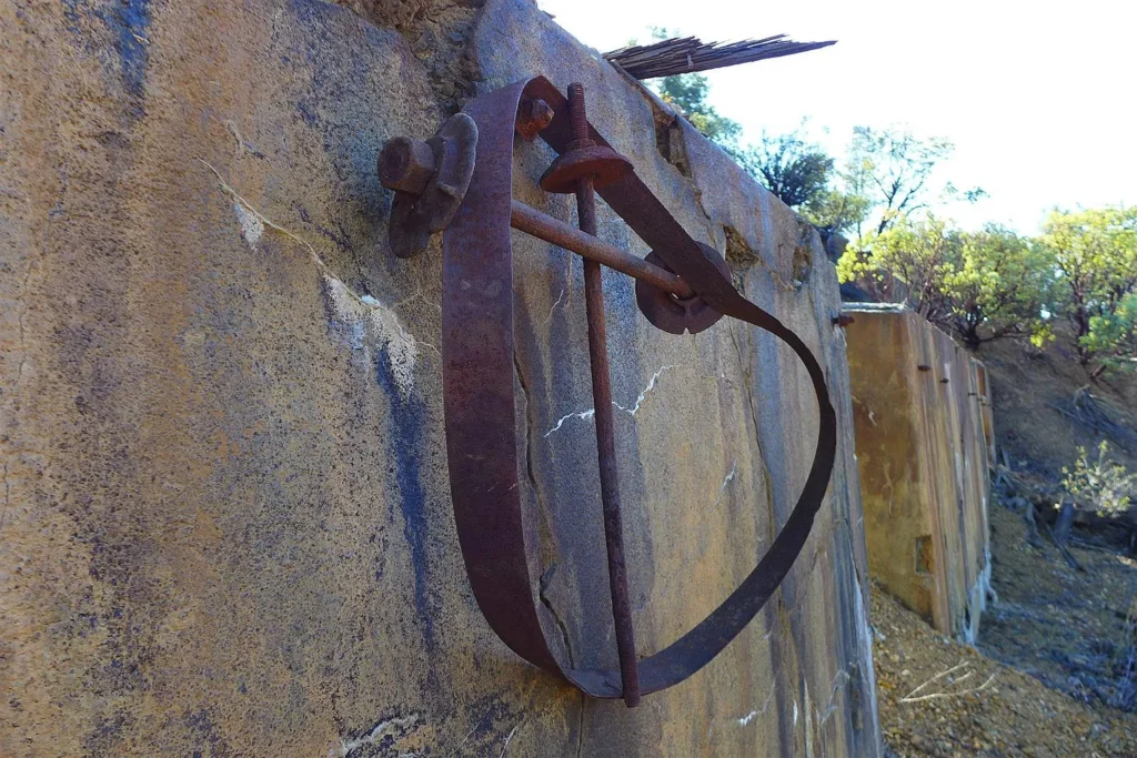
- Historic Industrial Artifacts: Contains brick flues, concrete smelter foundations, and rich mining history.
Critical Risk Factors (Cons)
- EPA Superfund (NPL) Designation: Listed on the National Priorities List for heavy metal contamination.
- CERCLA Liability Considerations: Buyers must ensure proper legal steps are taken to qualify for Bona Fide Prospective Purchaser (BFPP) protections under federal law.
- Restricted Use Areas: Lower valley and smelter ruins are subject to ongoing EPA testing and cleanup activities.
- Steep Terrain: Significant portions of the property consist of steep, sloped hillside.
Target Buyer Compatibility Matrix
| Buyer Profile | Profile Goals & Objectives | Strategic Fit |
| Speculative Land Investors | Buyers seeking high-acreage California land at a heavy discount to hold long-term through EPA cleanup. | Ideal Fit |
| Off-Grid Campers & Outdoor Enthusiasts | Buyers using the clean upper 1,550-ft bench for camping and accessing adjacent BLM land. | Ideal Fit |
| Mining & History Enthusiasts | Buyers interested in owning a piece of Northern California mining history. | Ideal Fit |
| Traditional Home Builders | Buyers seeking to construct a primary residence or subdivision. | Unfavorable Fit |
Essential Buyer Due Diligence Roadmap
- Retain Environmental Legal Counsel: Consult an attorney specializing in CERCLA/Superfund law to confirm steps for establishing Bona Fide Prospective Purchaser (BFPP) status, protecting the buyer from historical cleanup liabilities.
- Review EPA Superfund Public Records: Contact the EPA Region 9 Superfund Project Manager for the Afterthought Mine site to review current soil/water testing data and the remediation timeline.
- Inspect Upper Bench Access: Walk or drive an ATV up the <0.5-mile dirt trail to verify access usability and building pad conditions at the 1,550-foot level.
- Confirm BLM Boundary & Easements: Verify property lines along the 292-acre BLM boundary and confirm Highway 299 access easements with Caltrans.
- Verify County Tax & Zoning Records: Confirm Shasta County land-use rules, property tax baselines, and building restrictions applicable to Superfund-designated acreage.
299 Easy Street in Redding (Ingot), CA, presents an entry point into Northern California land ownership. Offered at $80,000 ($1,034.93/acre) for 77.3 acres, its value is defined by its 580 feet of year-round Cow Creek frontage, direct border with 292 acres of BLM land, upper bench with Mt. Lassen views, and historic smelter architecture. While the EPA Superfund designation requires thorough legal and environmental due diligence, buyers who utilize proper CERCLA protections can acquire a substantial California acreage tract at a deep discount.
Listed on Zillow


Listed on Zillow